
Queenstown · Lake Wakatipu
Cecil Peak Weddings & Heli Elopements
The mountain across the lake from Queenstown, seven minutes by helicopter.
Quick answer
Cecil Peak is the 1,978 m mountain across Lake Wakatipu from Queenstown. Its landing sites are on Cecil Peak Station, a private working farm, so for a wedding the only practical way up is by helicopter, about a 7-minute flight from Queenstown Airport. The Ledge is the most popular landing; the Spur is our pick for sunset. It is one of the locations Heli Elopements flies most often.
Cecil Peak at a glance
- Summit
- 1,978 m. Cecil Peak rises from the south shore of Lake Wakatipu, across the water from Queenstown.
- Flight
- About 7 minutes from Queenstown Airport, one of the shortest heli elopement flights in the region.
- Land
- Cecil Peak Station, a working high-country farm of about 13,000 ha, mostly Crown pastoral lease, farmed since 1863. Landings are made with the station's permission.
- Access
- There is no road to the station; it is reached by boat or helicopter. For a wedding, the only practical way up to the landing sites is by helicopter.
- Name
- Named in 1862 by surveyor James McKerrow after Cecil Walter Rees, son of Queenstown founder William Rees. Walter Peak next door shares his name. The Māori name for both peaks is Kā Kamu-a-Hakitekura.
- Landings
- The Ledge, The Spur (also called the Ridge) and Lower Cecil, chosen on the day by wind and light.
- Best light
- Late afternoon into sunset. The Spur gives one of the best sunset views near Queenstown.
01 · Where you land
Cecil Peak landing spots
Cecil Peak Station covers the whole mountain, from the lake shore to the summit, so there are several landings at different heights and facing different ways. The wind and the light on the day decide which one we use.
Most popular
The Ledge
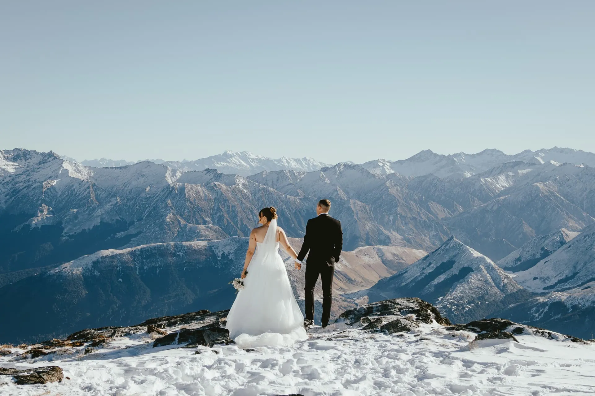
A flat rock outcrop on the Queenstown-facing side of the mountain, with sheer cliffs dropping away and Queenstown, the Remarkables and the length of Lake Wakatipu laid out in front of you. It is the classic Cecil Peak photograph.
Sunset and higher views
The Spur, or the Ridge
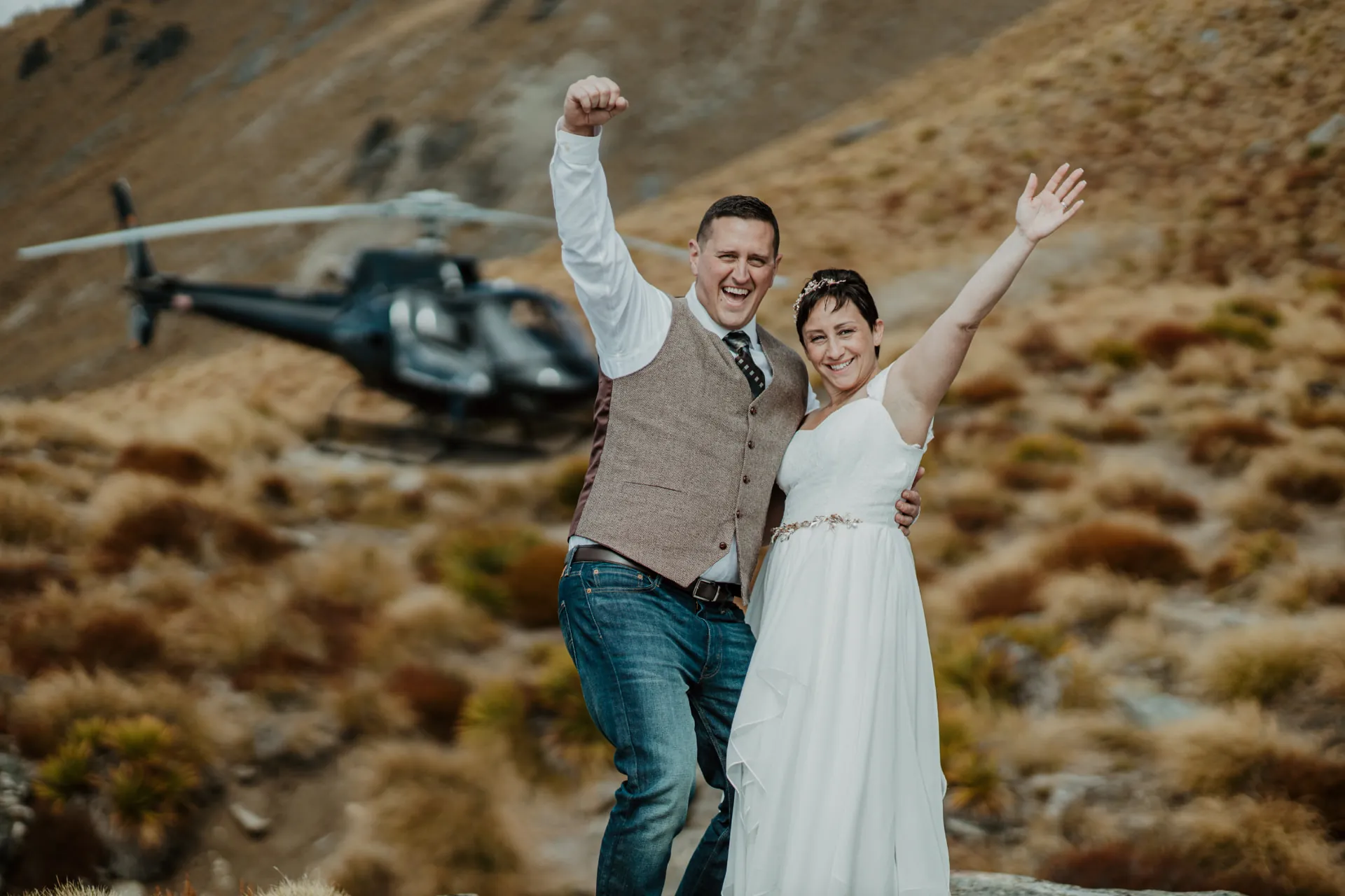
The Cecil Peak Spur and the Cecil Peak Ridge are the same place: a long tussock ridgeline that sits higher than the Ledge and runs out towards the lake. It opens a wide western sky for golden hour and sunset ceremonies, with a big open outlook over Walter Peak and the ranges behind Queenstown, and it feels more private than the Ledge.
Cloudy and windy days
Lower Cecil
Lower Cecil is only used on cloudy or windy days, when the higher landings like the Ledge and the Spur (the Ridge) are closed by low cloud or strong wind. It sits beneath the weather on golden tussock slopes, so your heli wedding can still go ahead on Cecil Peak instead of being postponed.
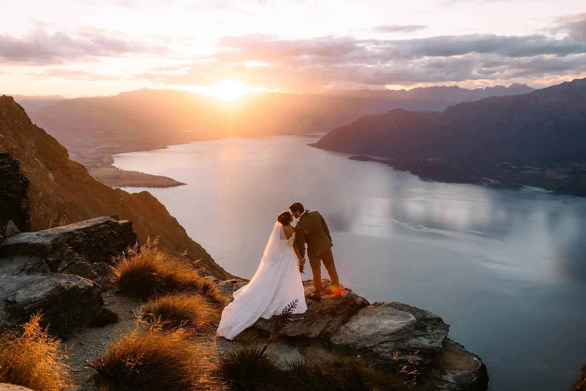
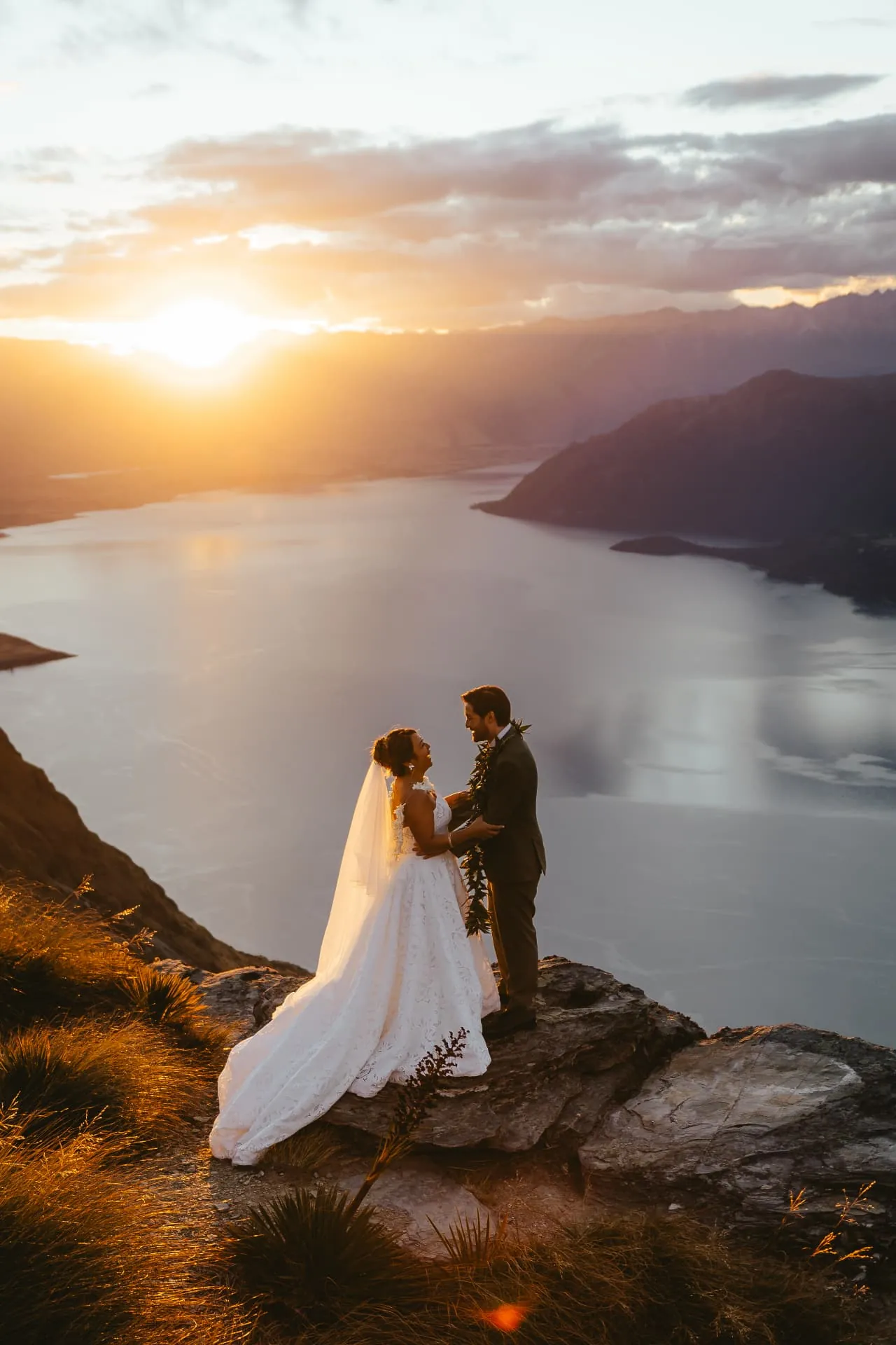
The Ledge at golden hour
A Cecil Peak Ledge wedding, in real light
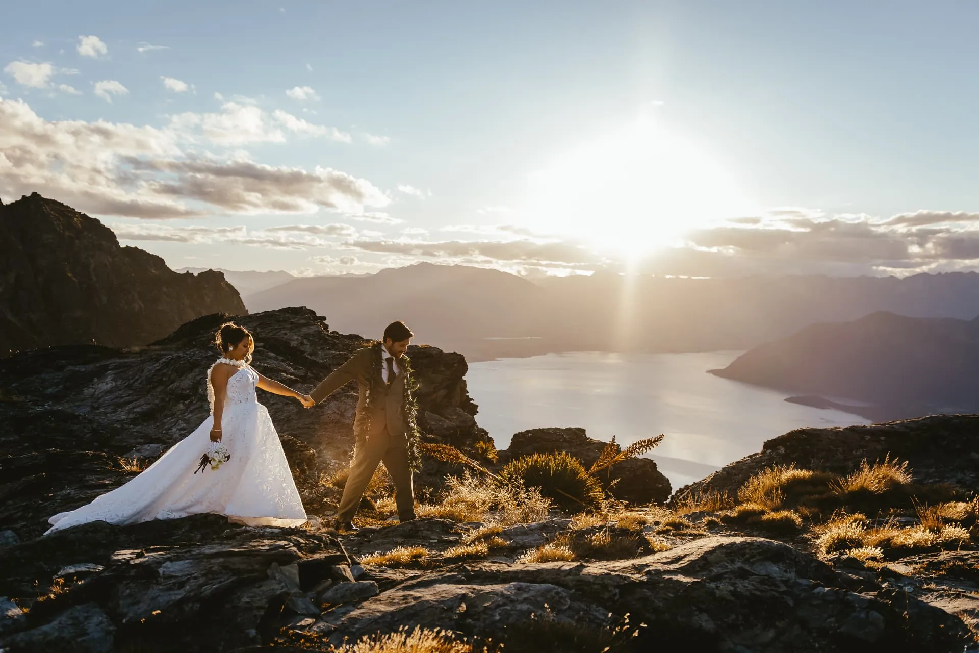
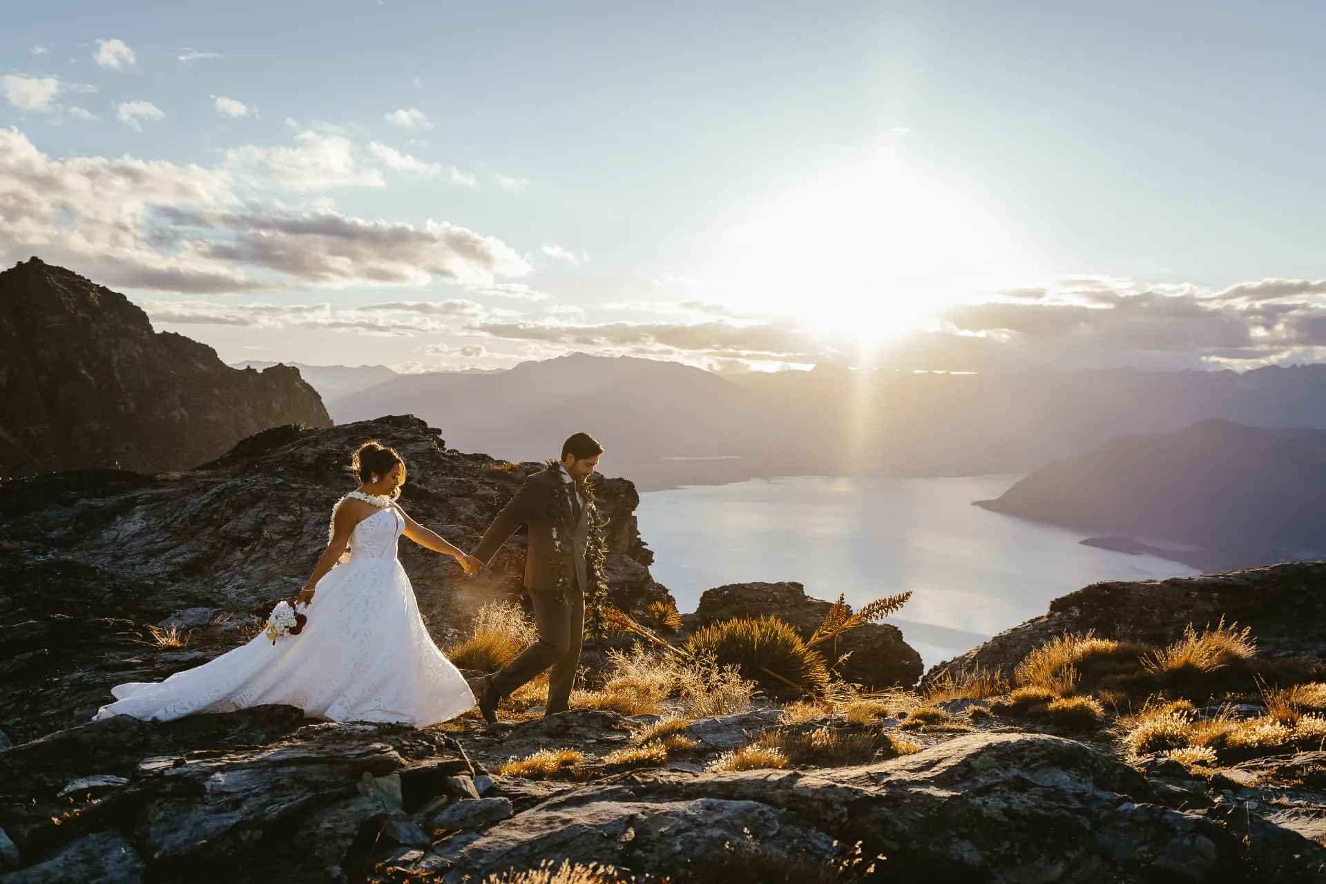
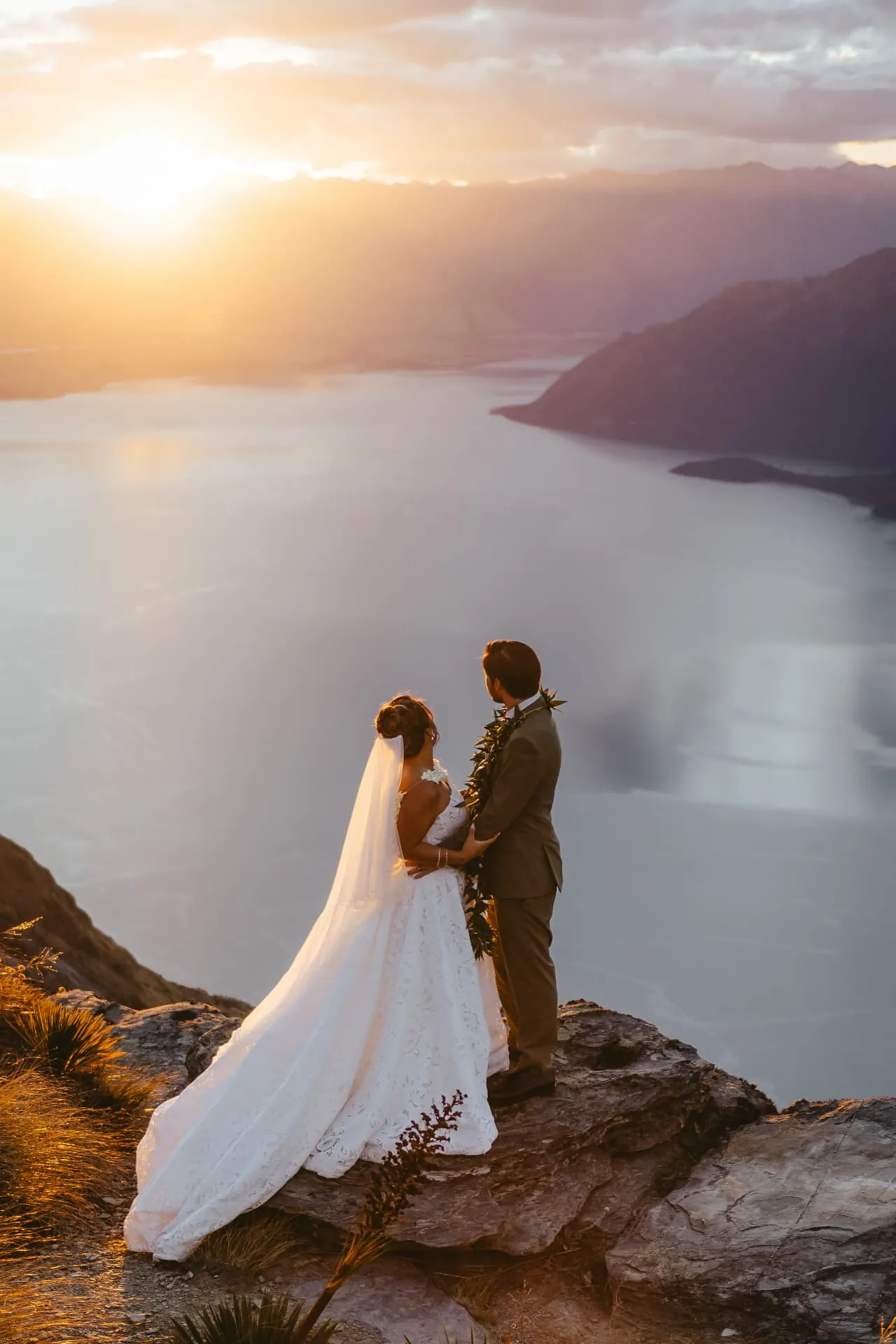
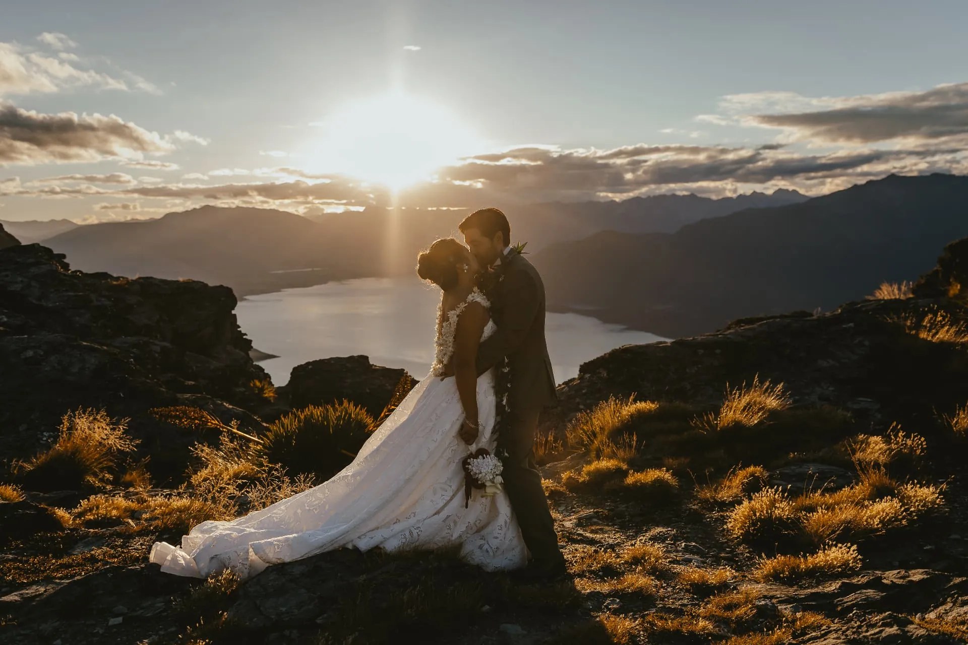
These photographs were taken on the Ledge in the last hour before sunset. The sun drops behind the ranges at the far end of Lake Wakatipu, lighting the tussock gold and turning the water silver. The rock is uneven schist, so couples walk it slowly, dress in hand, with the lake hundreds of metres below.
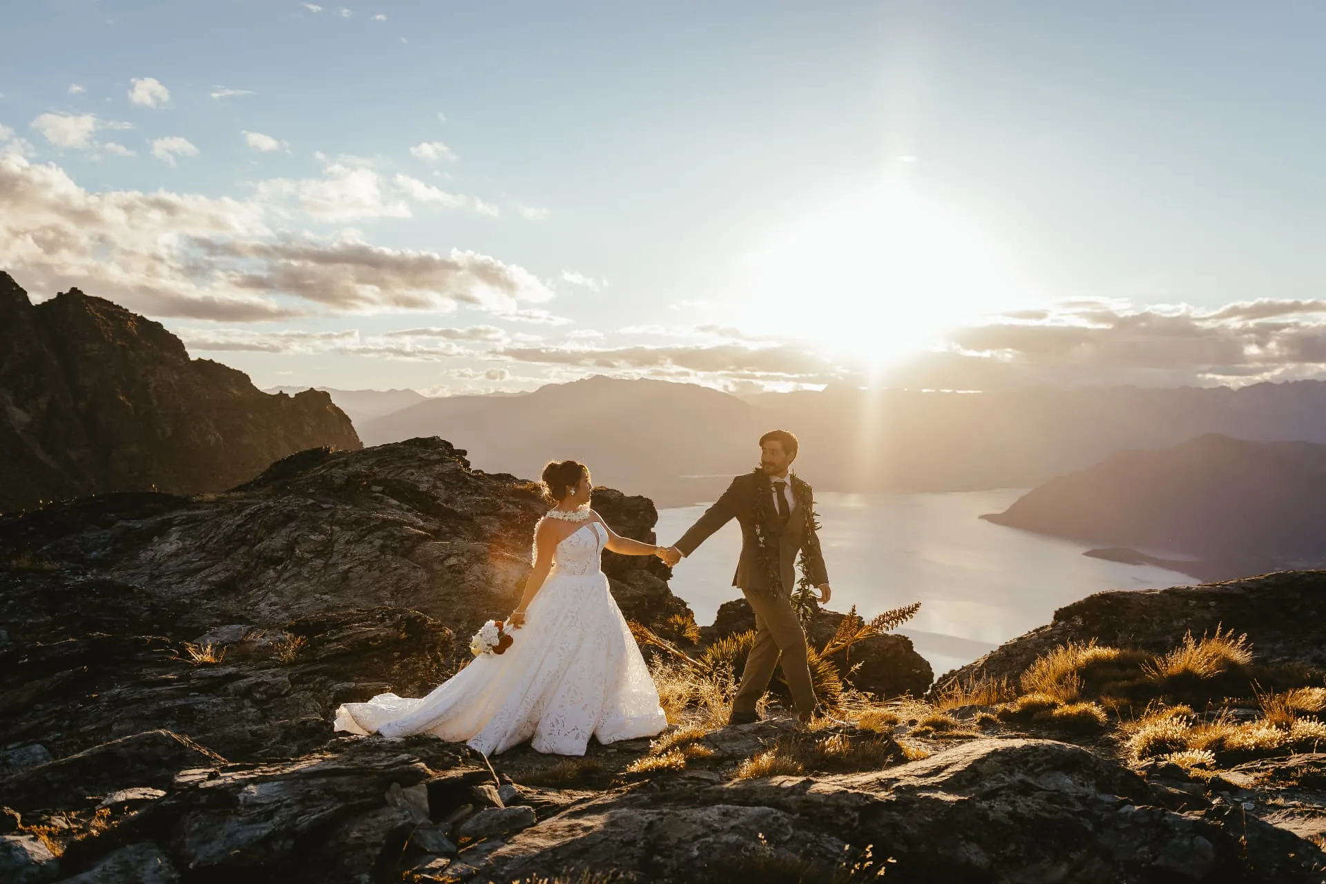
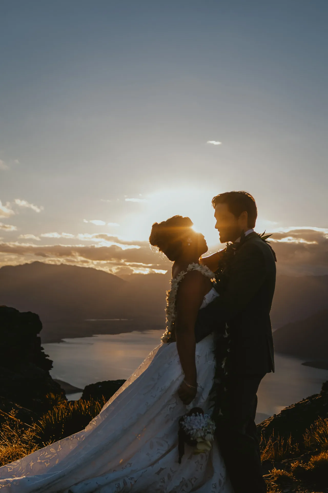
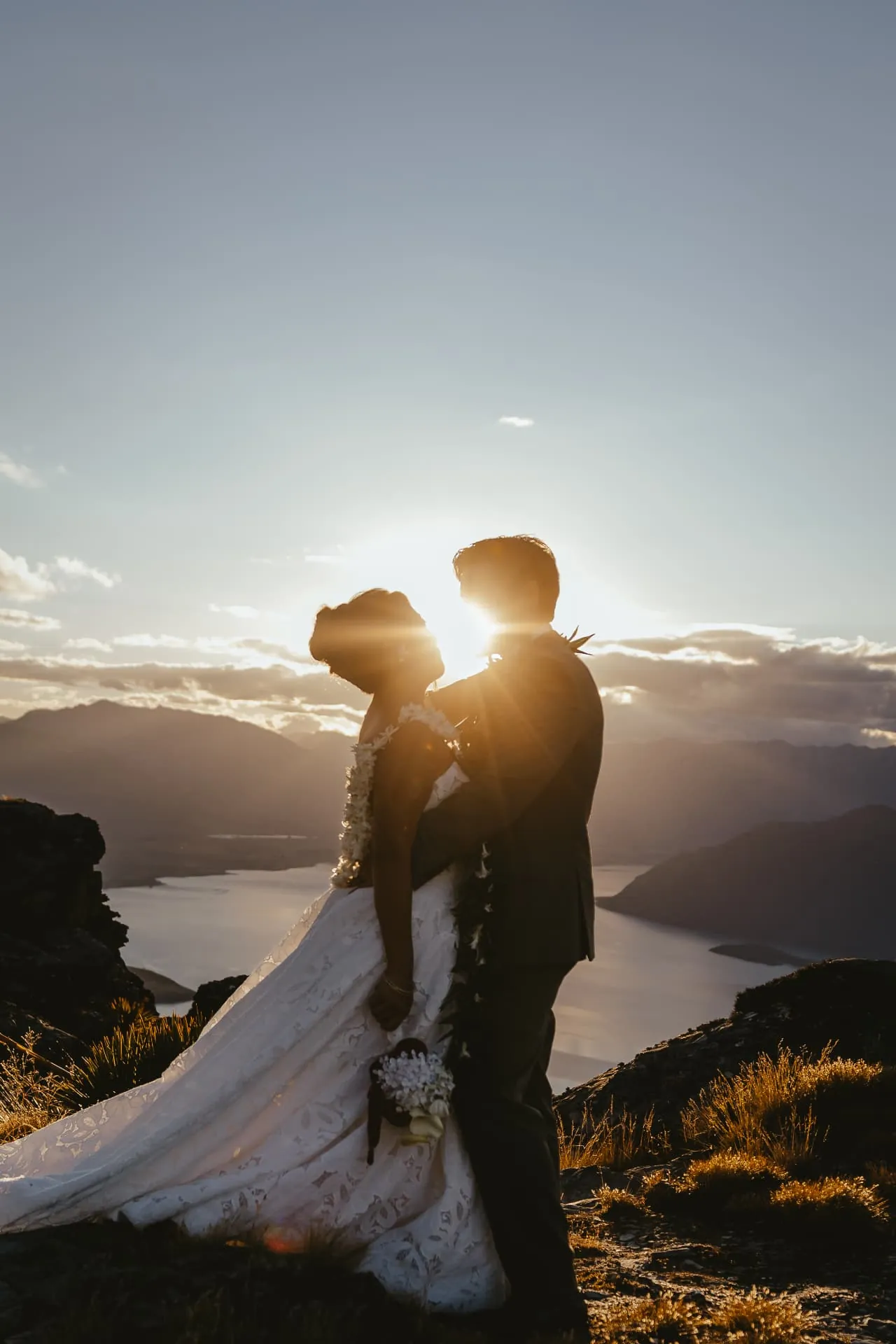
Why the Ledge photographs so well: it faces down the length of the lake, so the sunset sits behind the couple rather than in the camera, giving that soft rim light around hair, veil and dress. Plan for the final 60 to 90 minutes of daylight for this look.
Getting married on the Ledge
Vows on a cliff above Lake Wakatipu
The Ledge is a natural stage: a flat shelf of schist on the edge of a near-vertical face, with the lake far below and the ranges stacked behind. There is room for the two of you, your celebrant and your photographer, and nothing between you and the view. The helicopter waits further back on the hill, out of every photograph.
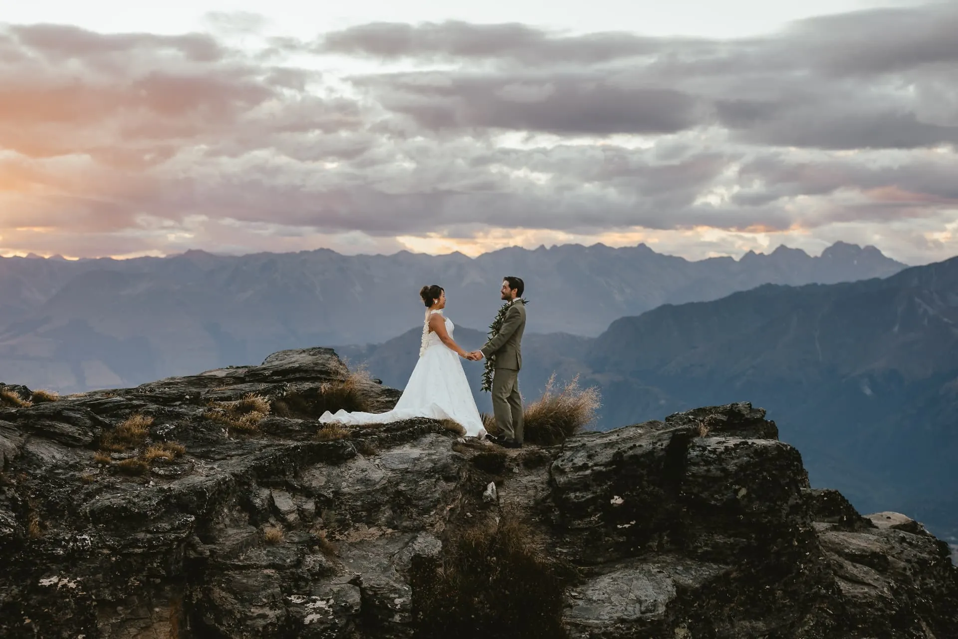
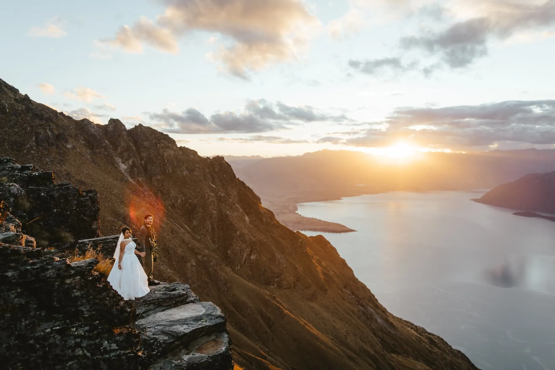
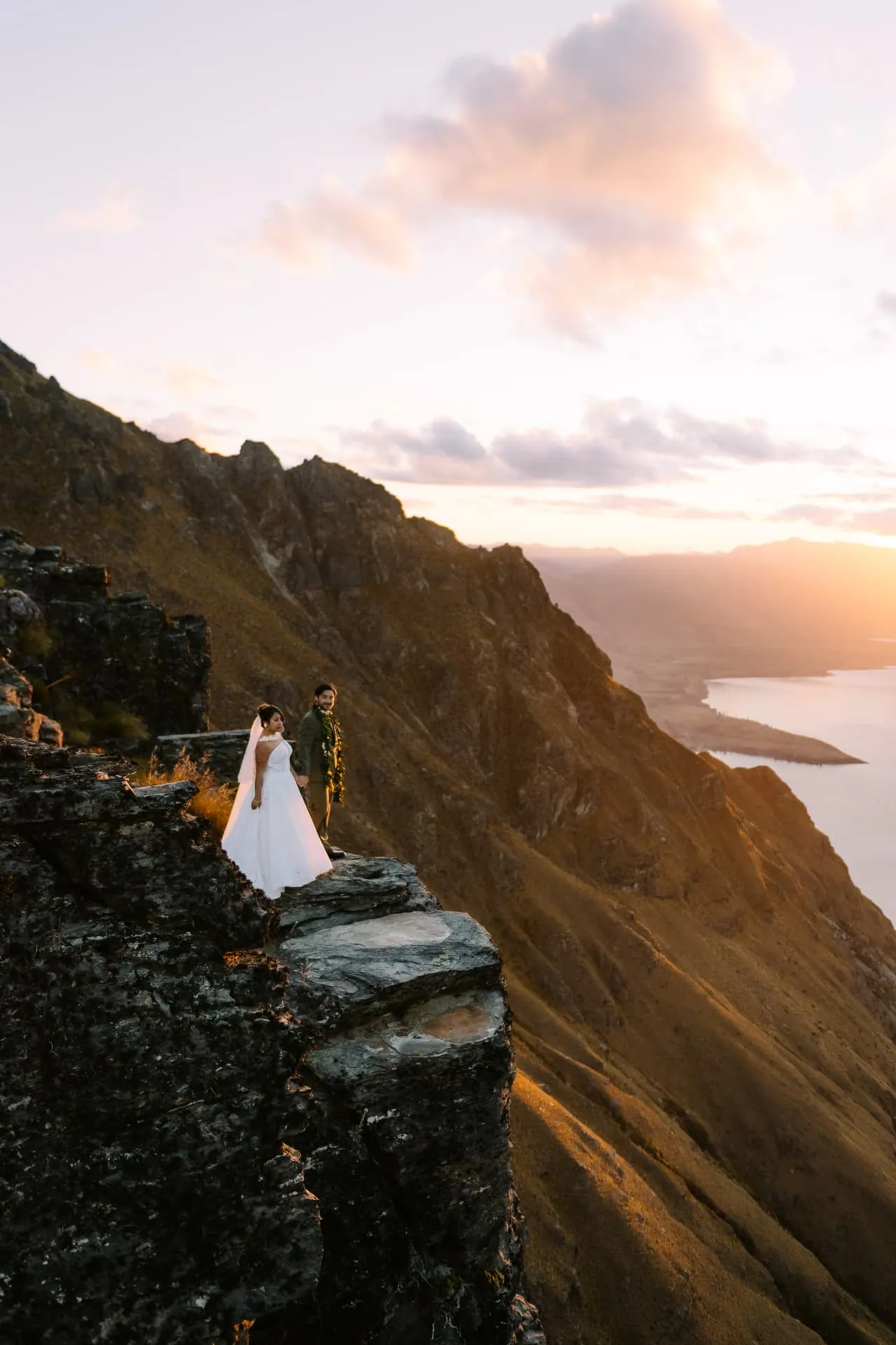
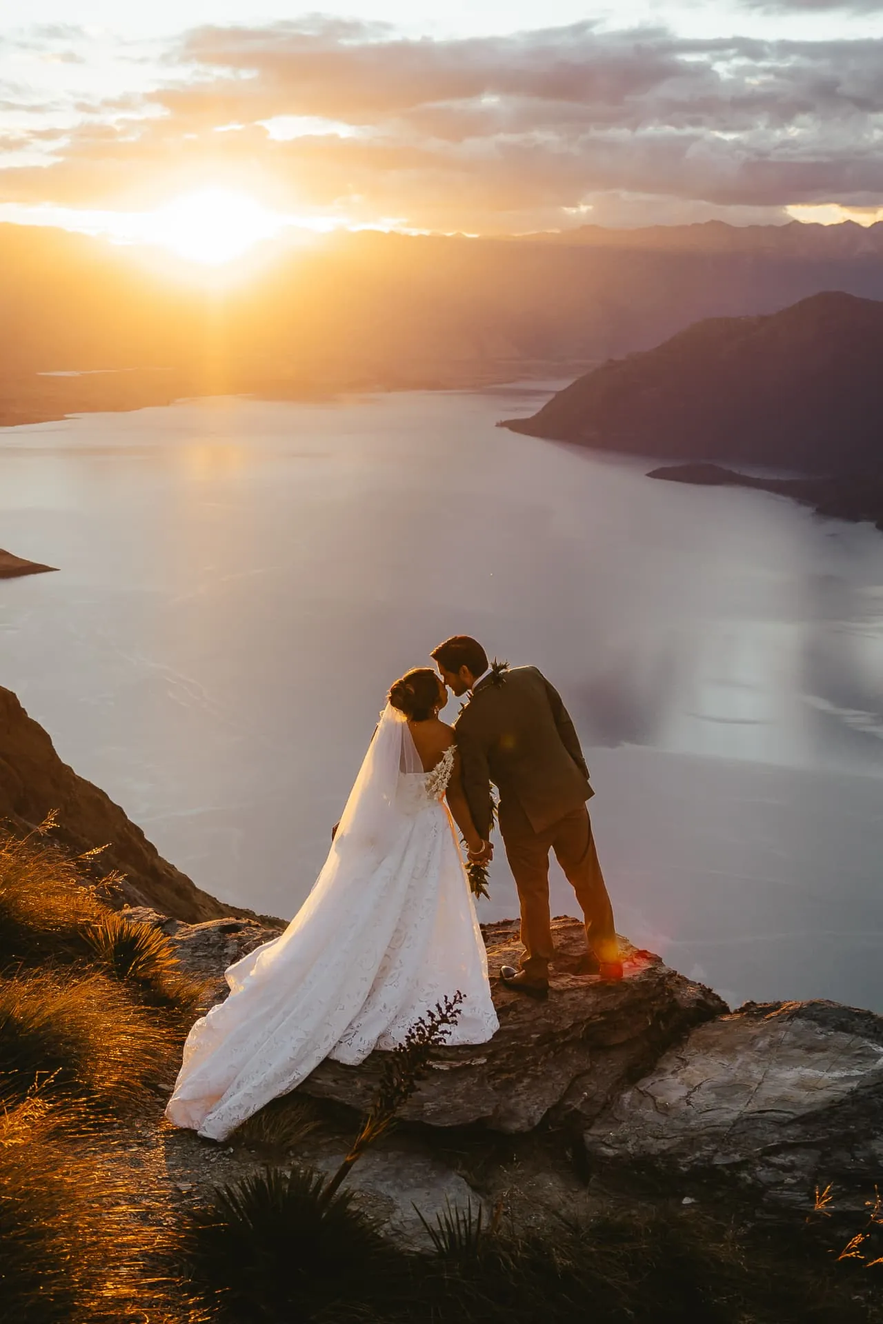
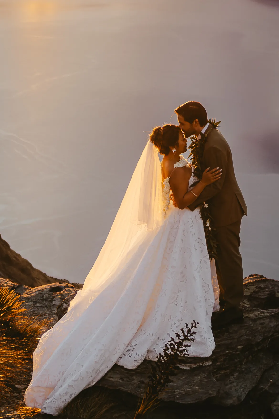
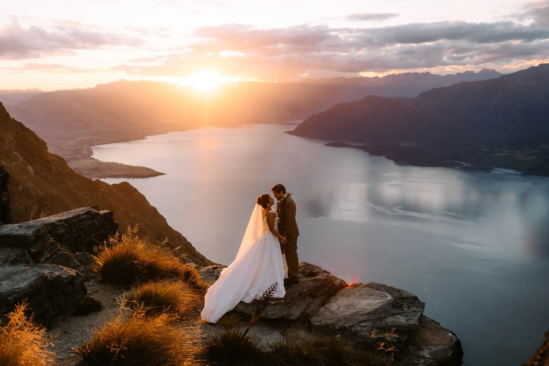
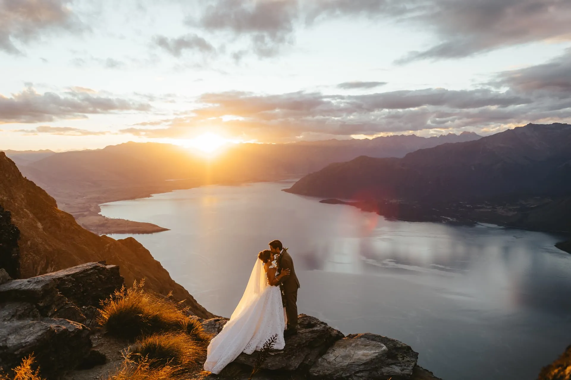
Photographing a Cecil Peak wedding: we shoot wide to show the cliff and the lake, then come in close for veil and portrait moments as the sun goes down. The Ledge faces down Lake Wakatipu, so a single landing gives you ceremony photos, big landscape frames and intimate sunset portraits without moving.
Just married on Cecil Peak
From sunset vows to the rock above Queenstown
Straight after the vows comes the moment most couples remember: arms in the air on the edge of the Ledge, the sun going down the lake. Then we walk a few minutes up to a rock outcrop above the landing, where Queenstown, Frankton and the Remarkables open up below and the sky does the rest, golden on a clear evening, moody and dramatic when the cloud rolls in.

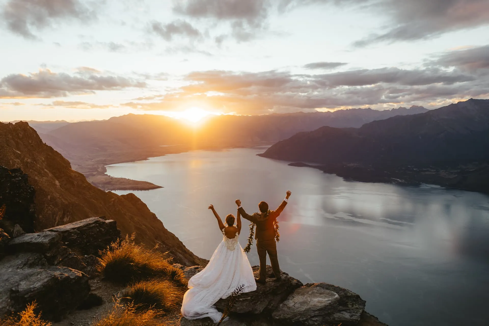
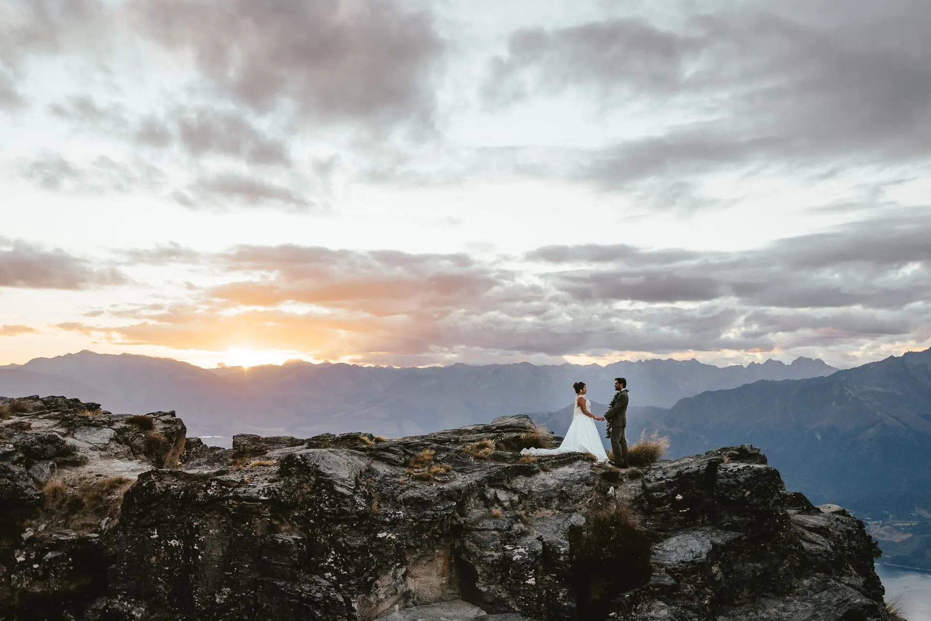
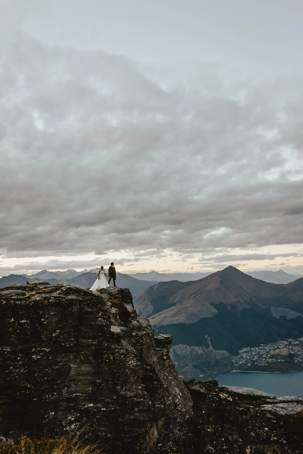
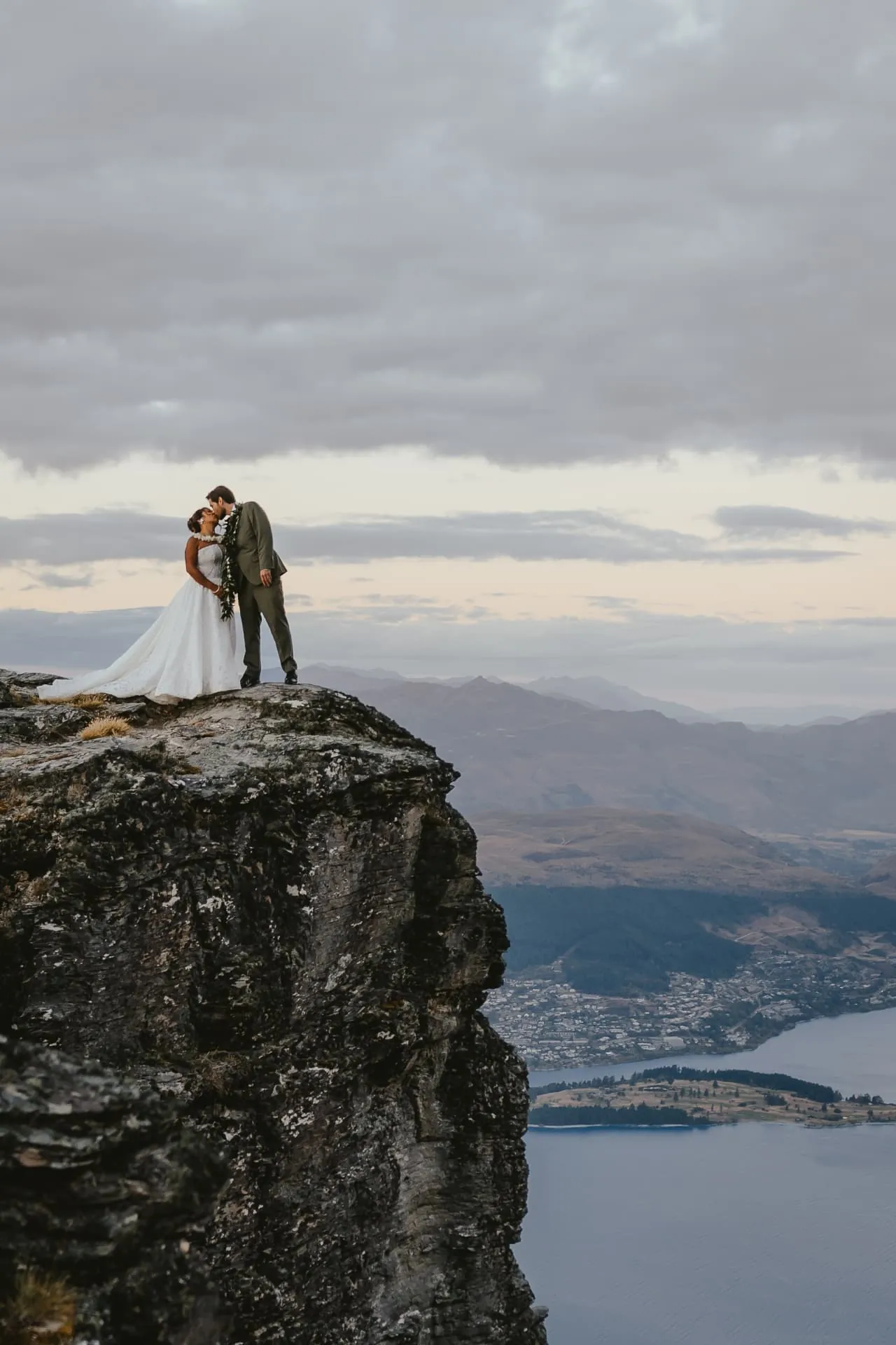
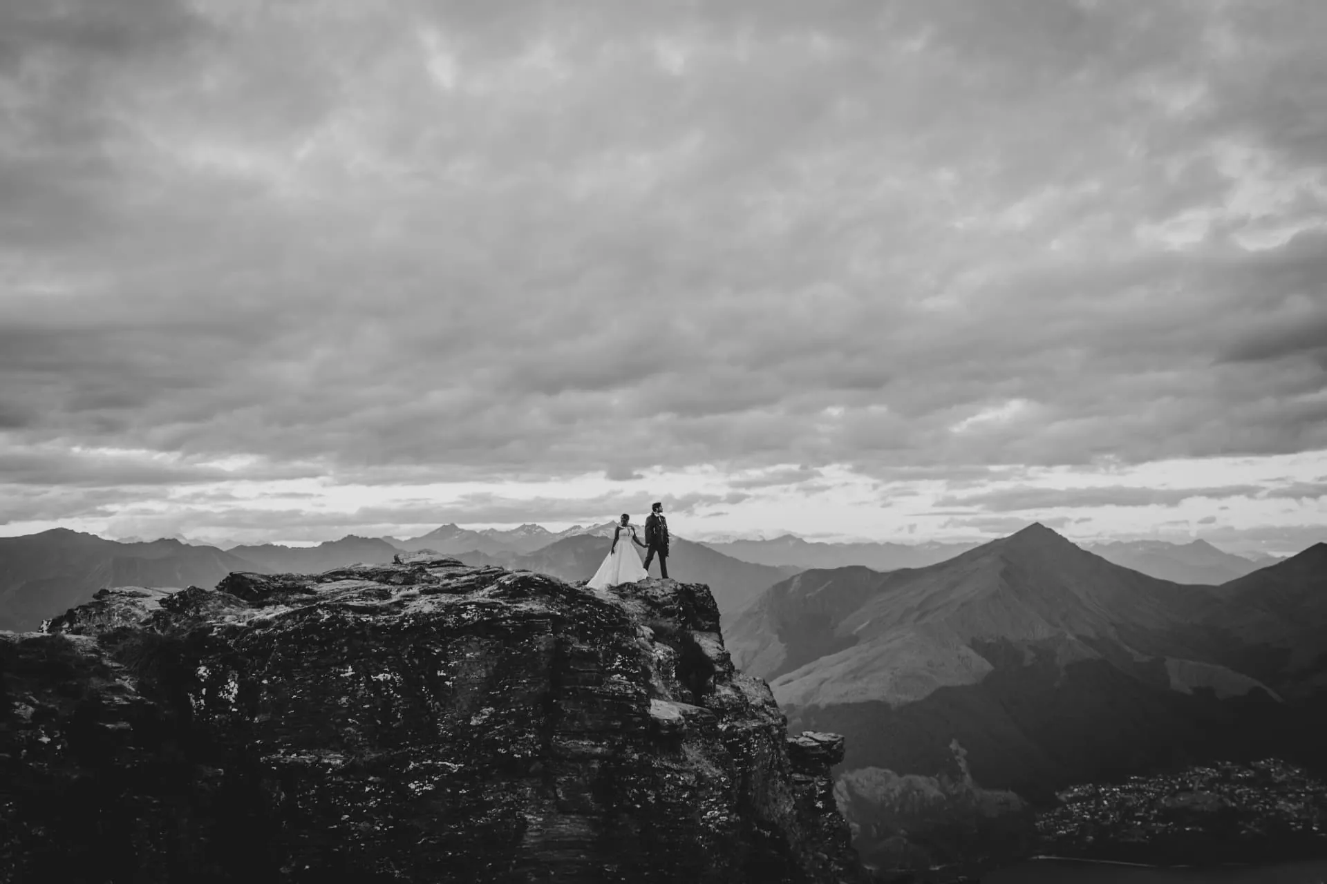
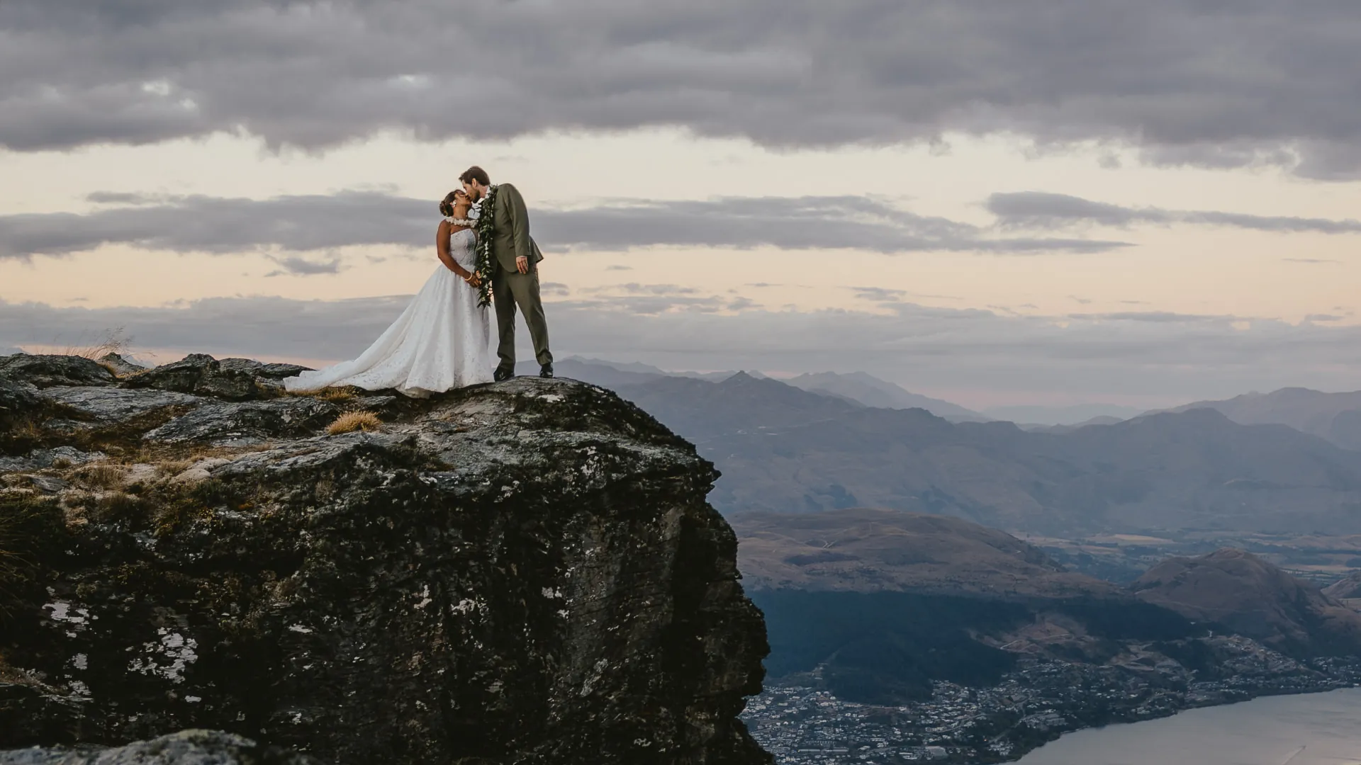
Cloudy evenings are not a write-off on Cecil Peak. Some of our favourite frames come from grey skies: the light goes soft and even, the mountains layer into the distance, and black and white photographs come into their own. Your planner and pilot watch the forecast together and choose the window that gives the best chance of good light.
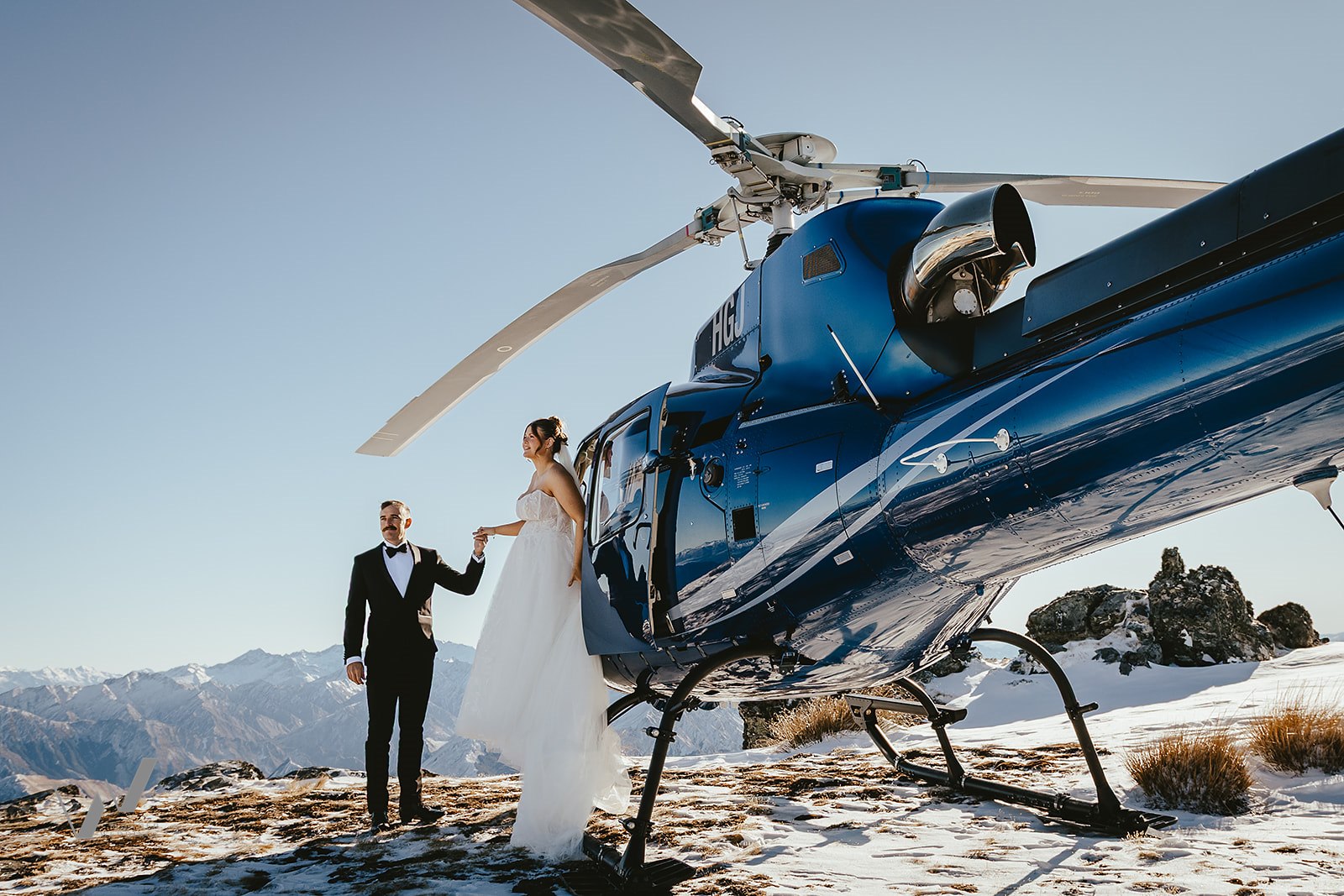
A spring wedding on the Ledge
Cecil Peak in spring: snow on the tops, sun on the lake
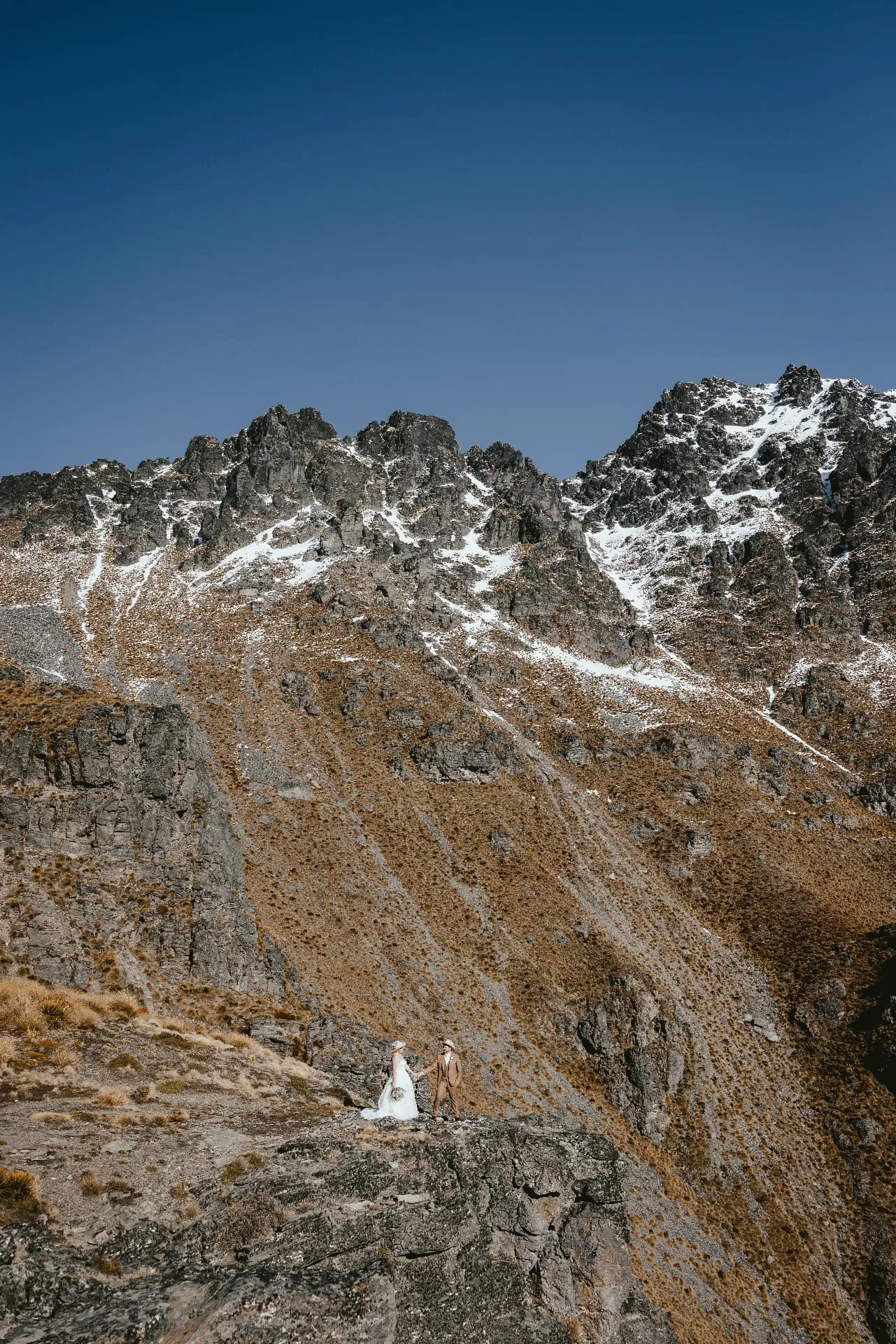
This wedding was photographed in spring, on a clear midday flight. In September, October and November the summit rocks above the Ledge still hold late snow, the ranges around Queenstown are white-capped, and the tussock has its golden winter colour. Clear spring days bring crisp air, deep blue sky and the sun bouncing off Lake Wakatipu, a brighter, fresher look than a sunset ceremony.
This couple flew all the way from Texas, and they brought Texas with them: cowboy hats, boots and a warm brown suit, a little bit of home on the other side of the world. Country style suits Cecil Peak perfectly. Golden tussock, rugged rock and wide open sky feel like high-country ranch land, just with Lake Wakatipu and the Southern Alps as the view.
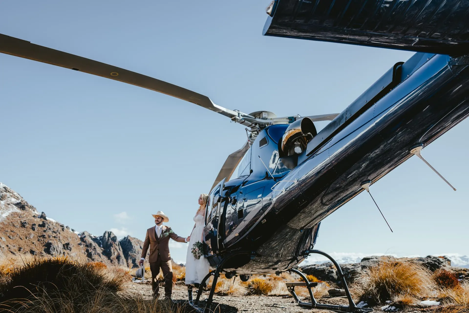
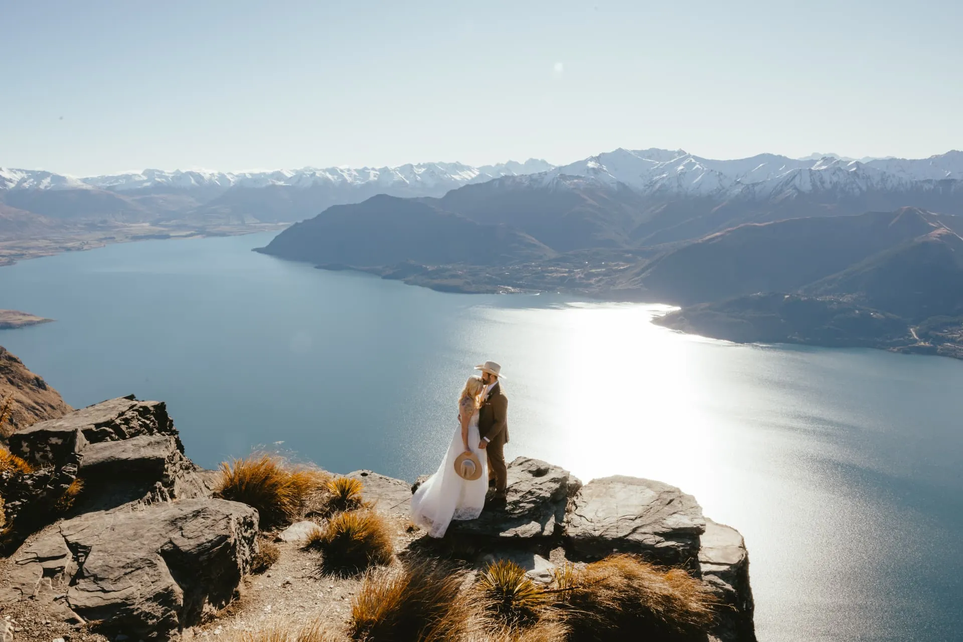
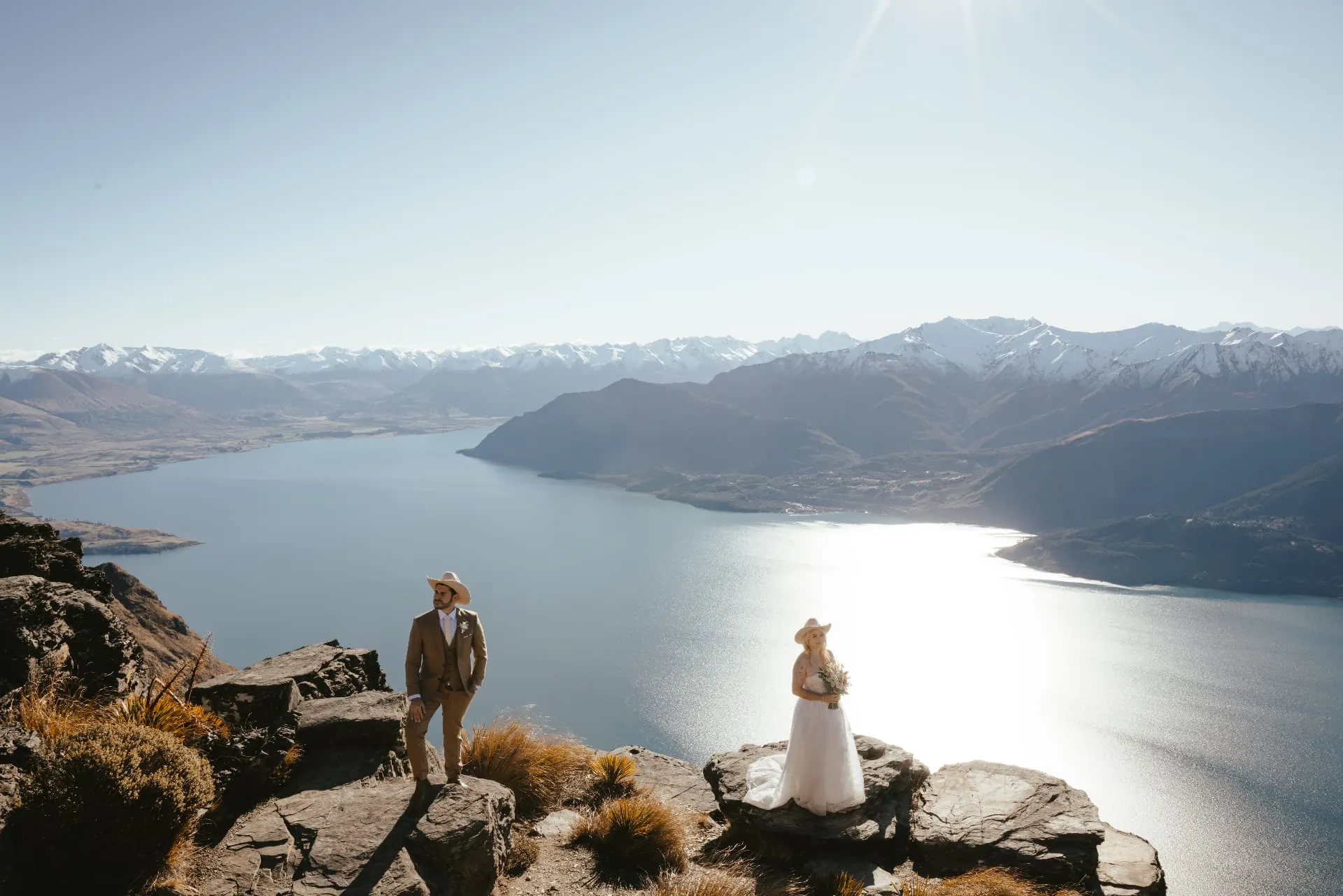
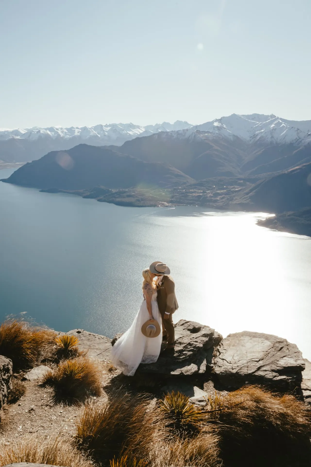
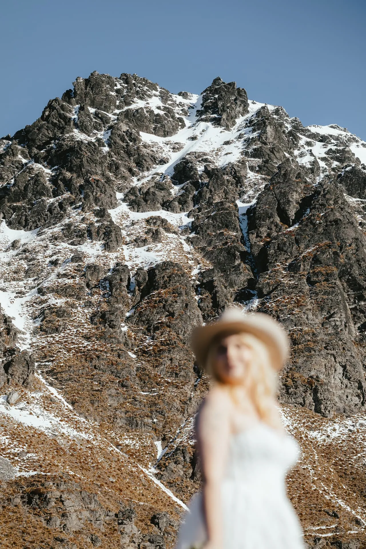
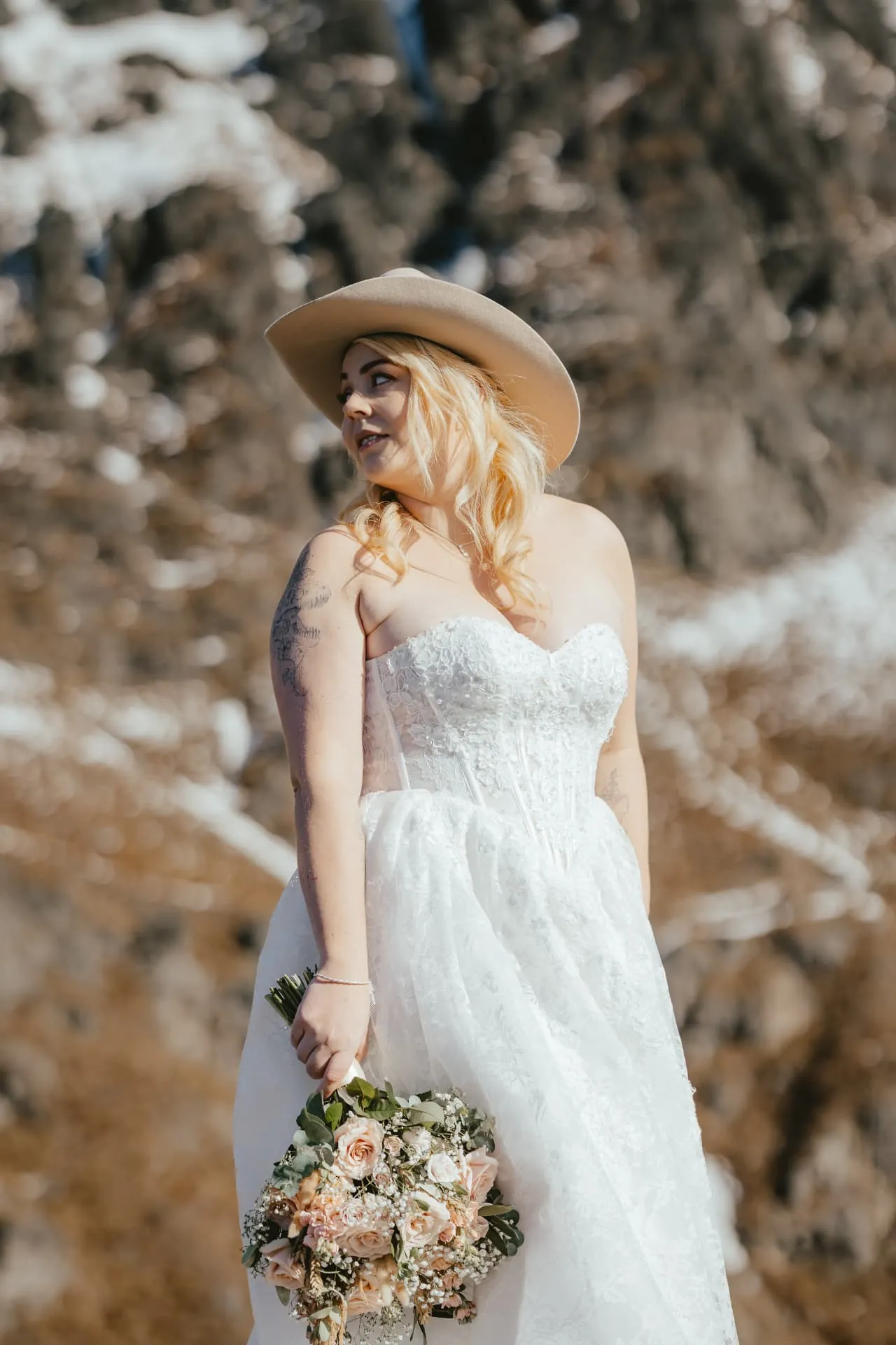
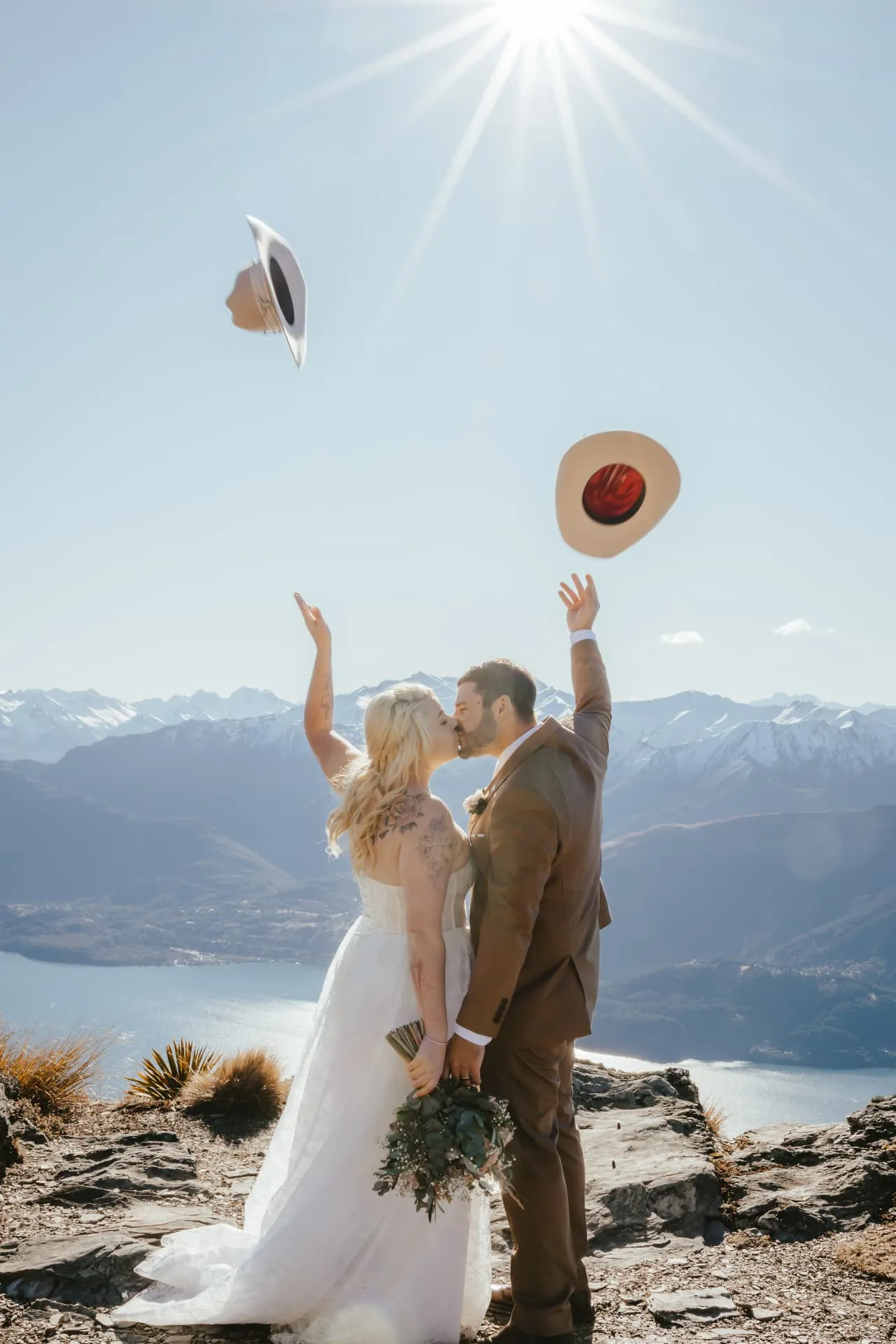
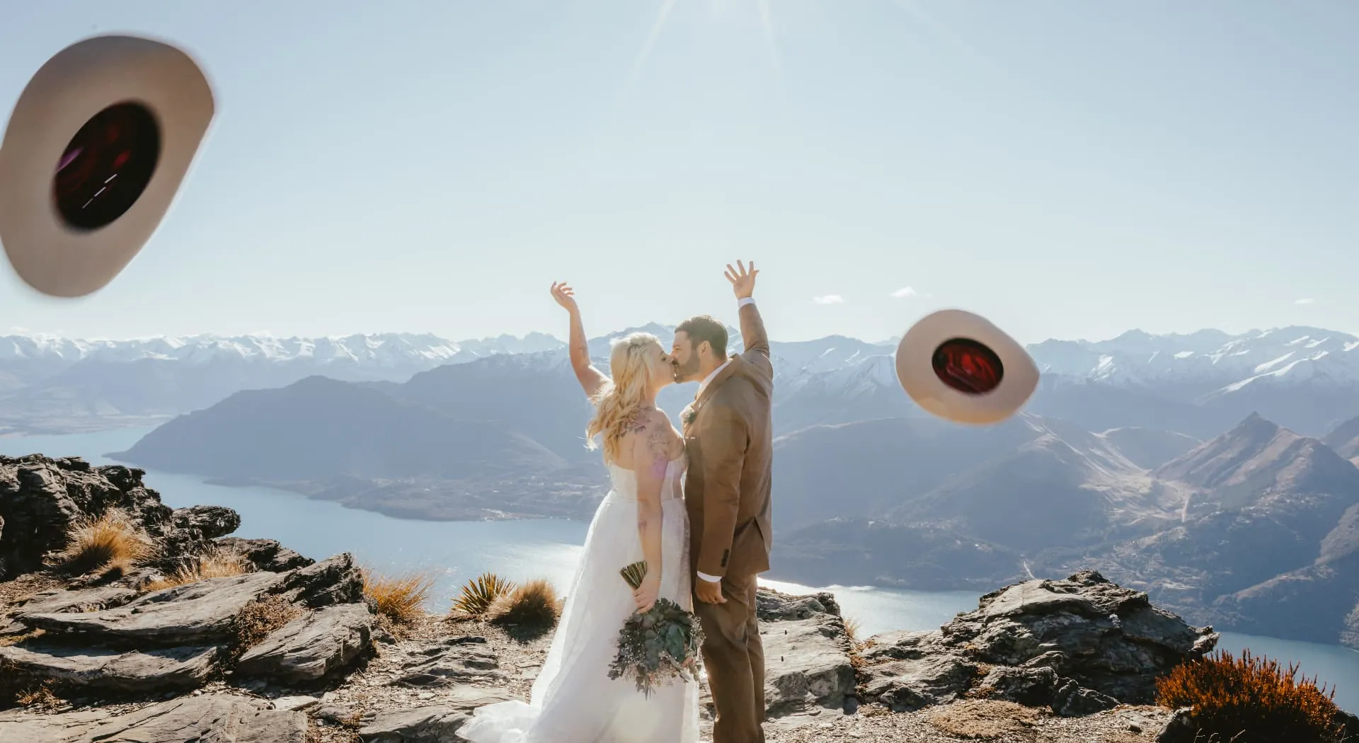
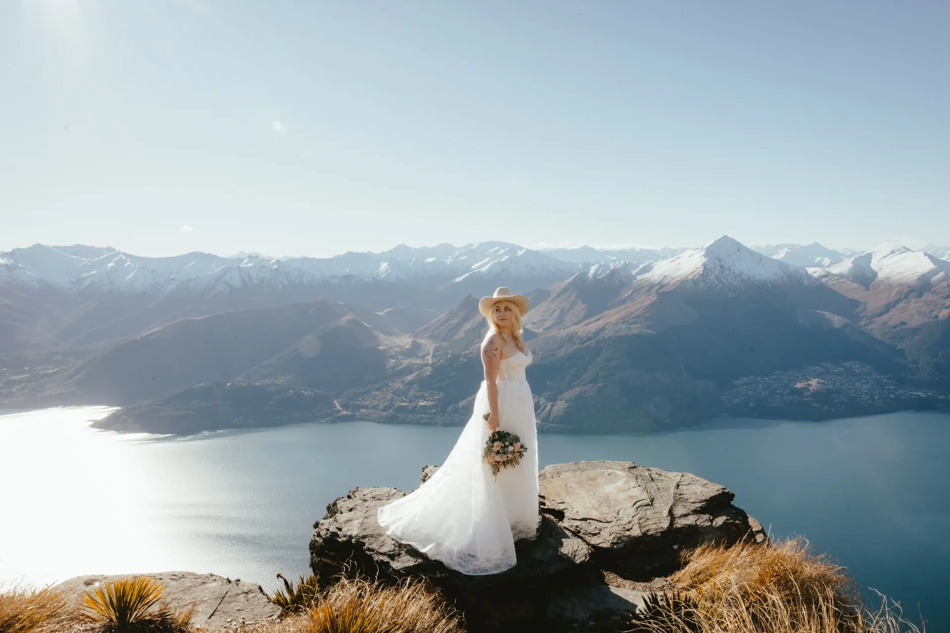
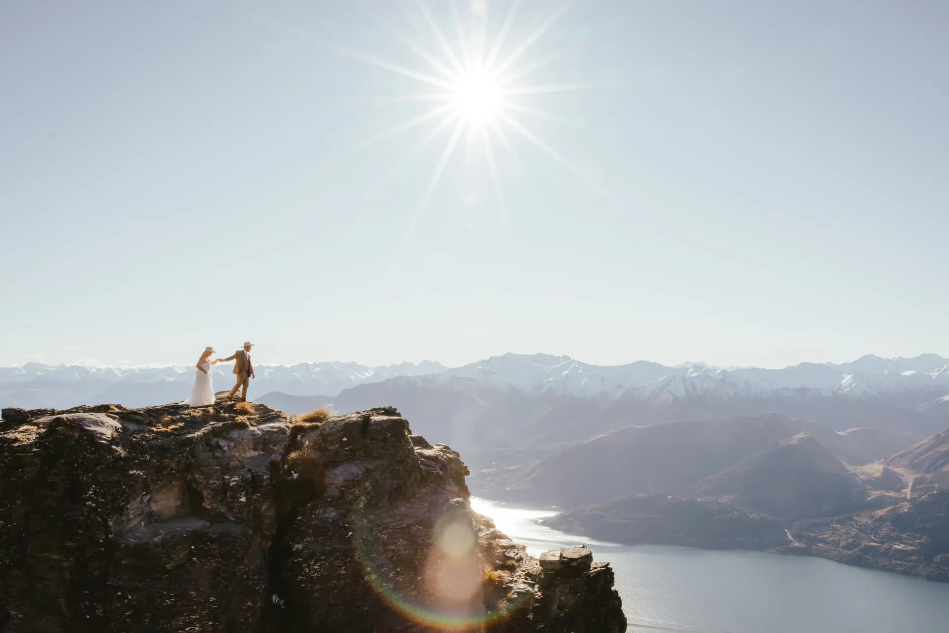
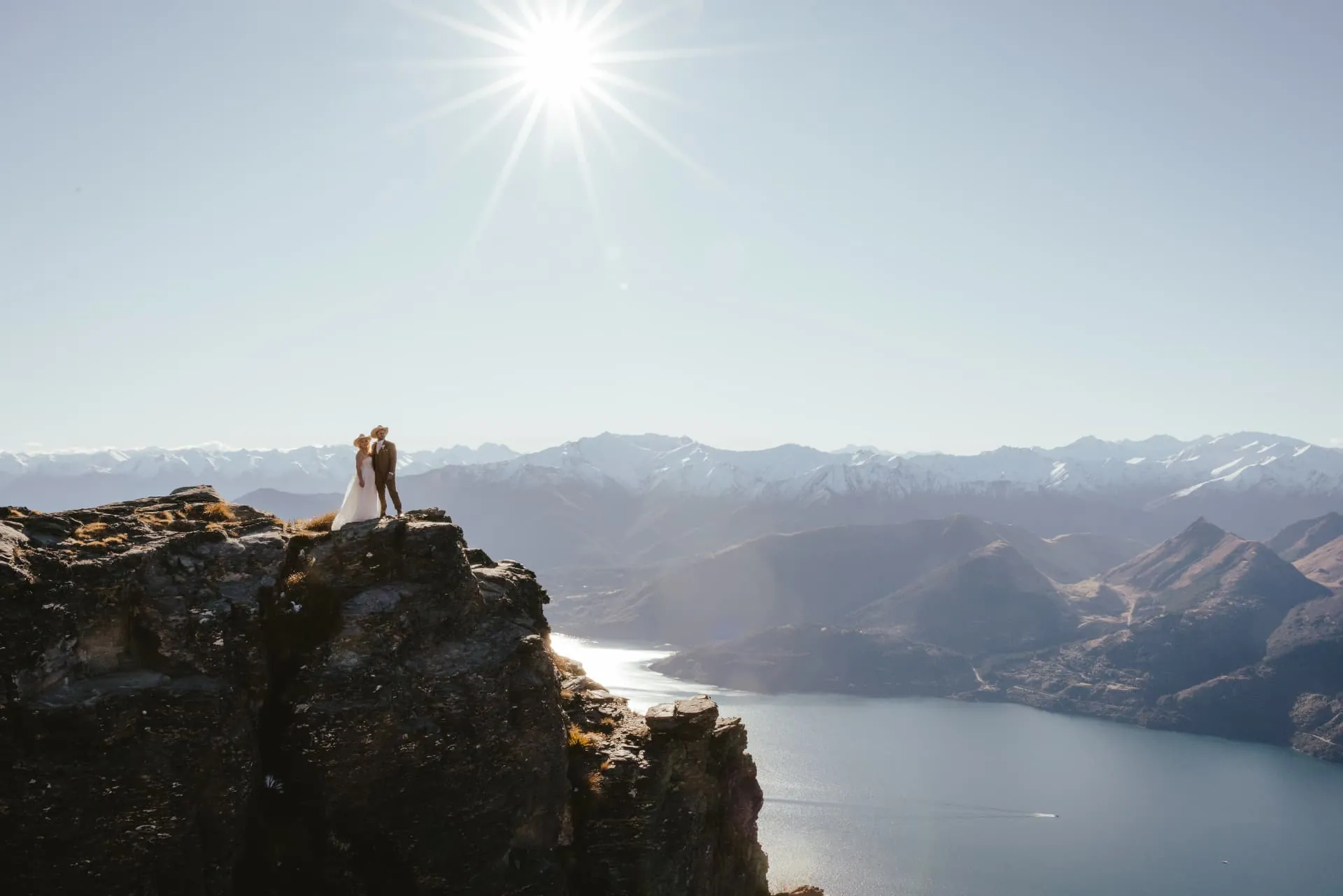
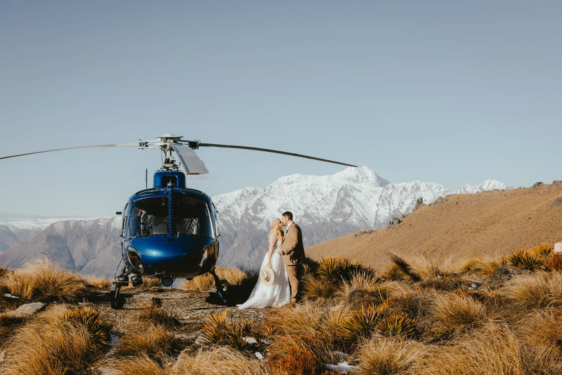
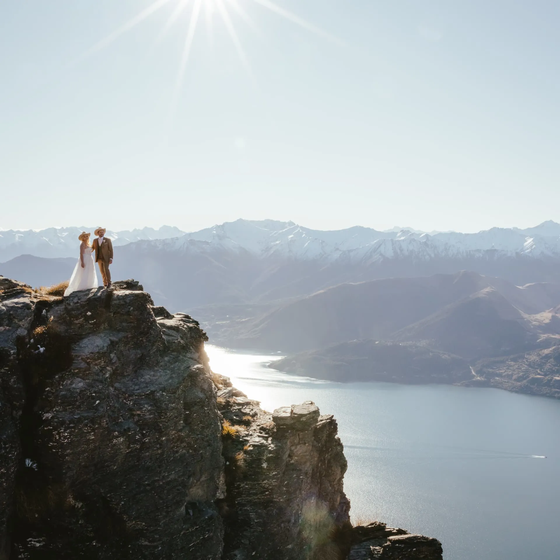
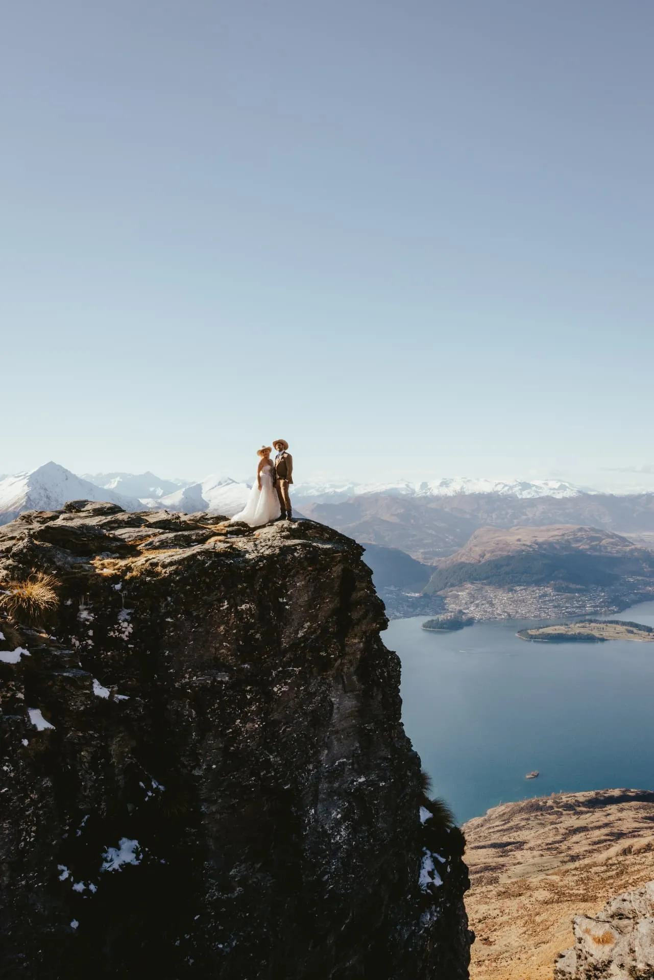
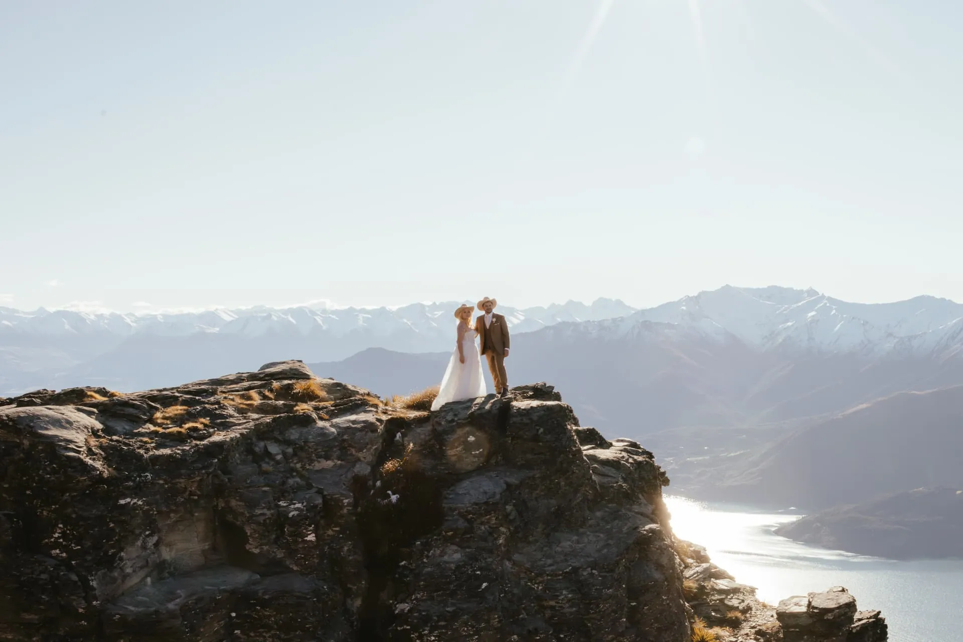
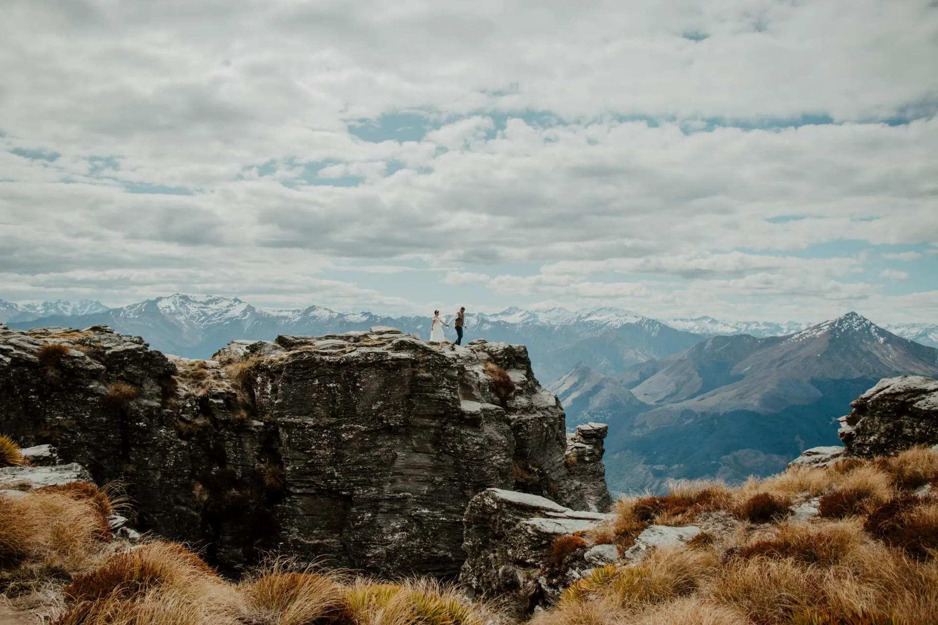
The rock towers above the Ledge are where Cecil Peak shows its scale: from a little way off, the two of you become small figures on a cliff top, with Queenstown, the Remarkables and the snow-covered Southern Alps all in one frame.
Planning a spring Cecil Peak elopement: days are getting longer, but the mountain is still cold in the wind, so bring a warm layer and shoes with grip for snow patches or wet rock. Spring weather changes quickly, so we keep a flexible window and a lower landing in reserve. When the forecast is clear, midday light gives the sharpest views of the lake and snowy ranges.
Weather backup
Lower Cecil: the cloudy and windy day plan
Lower Cecil is only used on cloudy or windy days, when the higher Cecil Peak landings, the Ledge and the Spur (also called the Ridge), are unavailable because of low cloud or strong wind. Our pilot and planner make the call on the morning. Instead of postponing, we land lower on the station among golden tussock, beneath the cloud and out of the worst of the wind, so you still get your helicopter, your vows and plenty to celebrate.
The Ledge by day
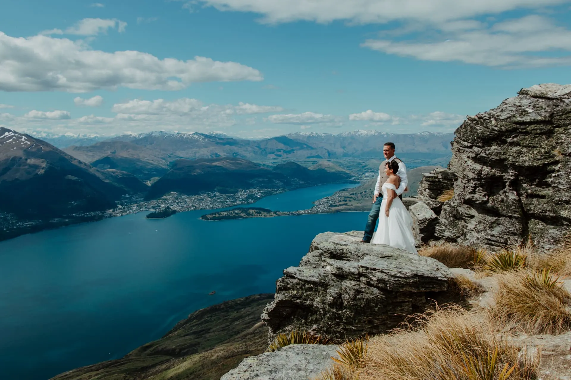
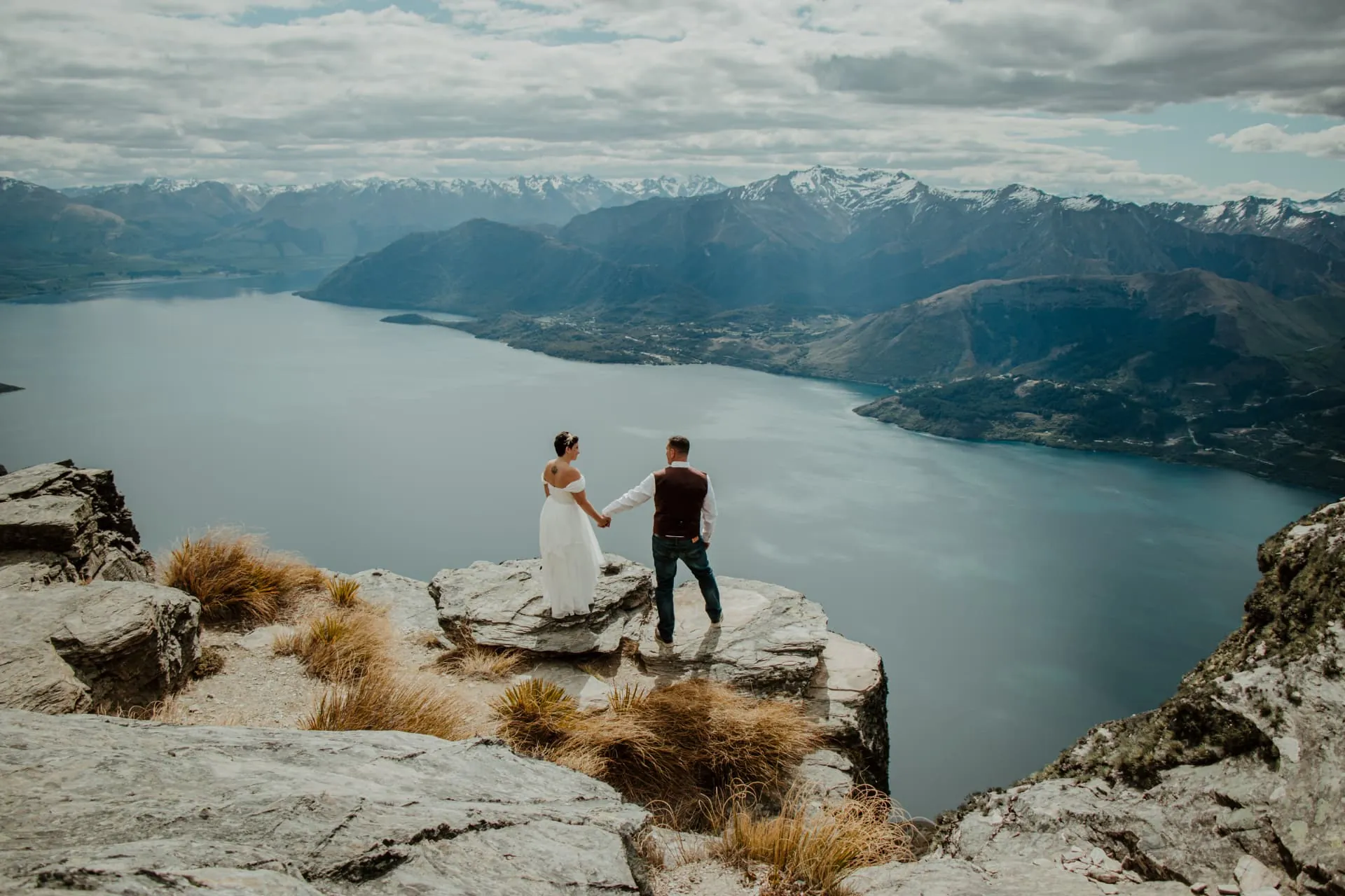
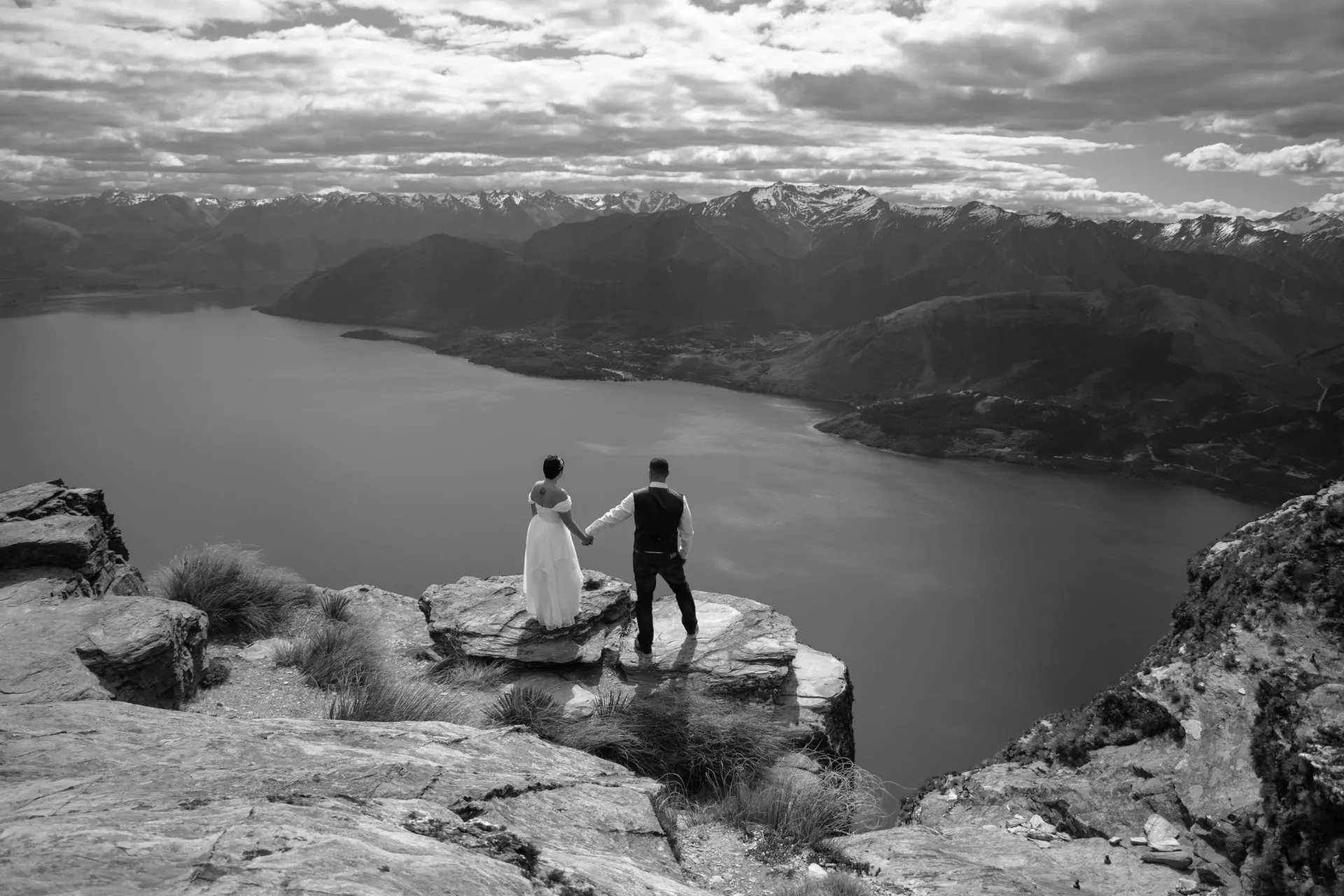
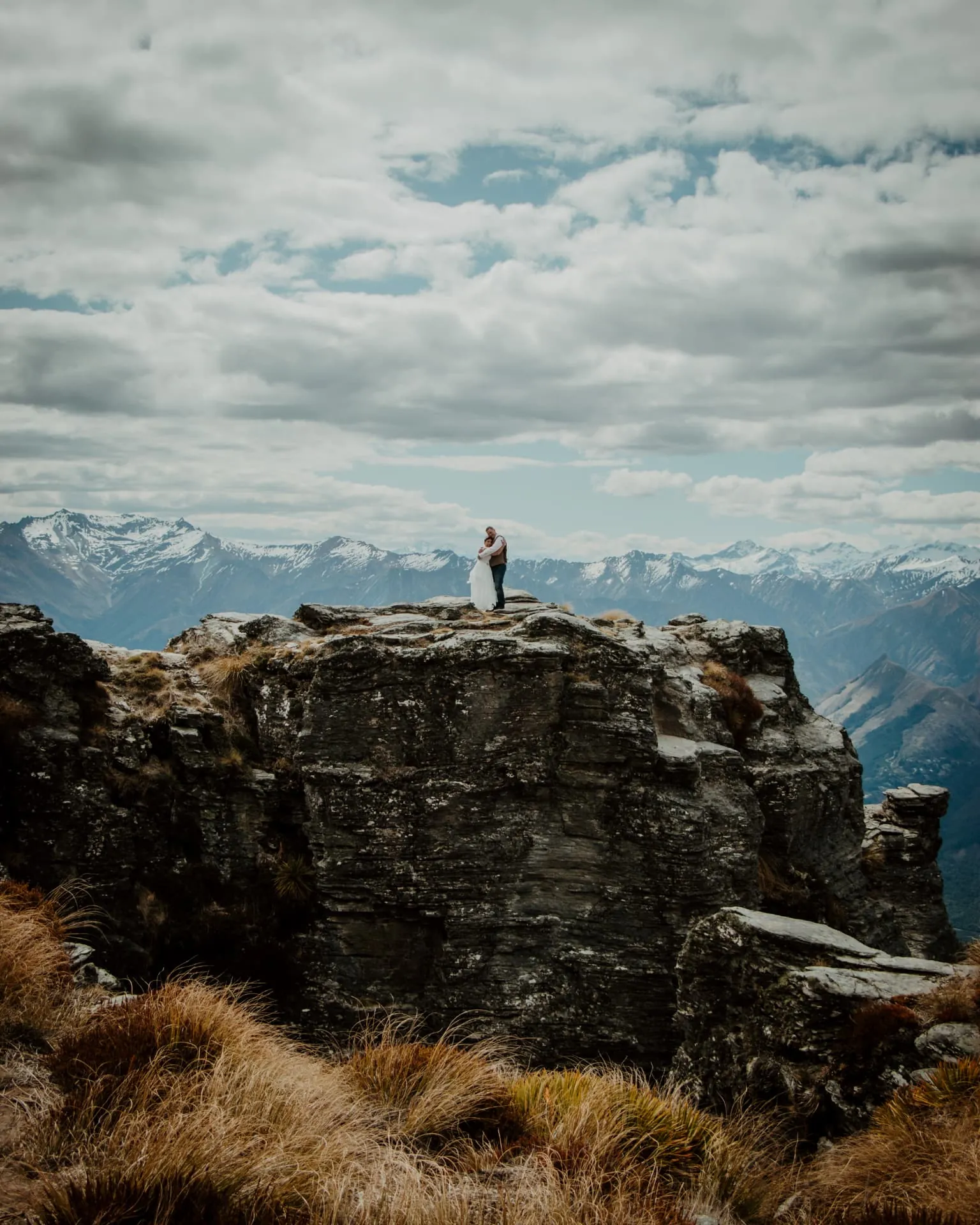
Cecil Peak Ledge in daylight
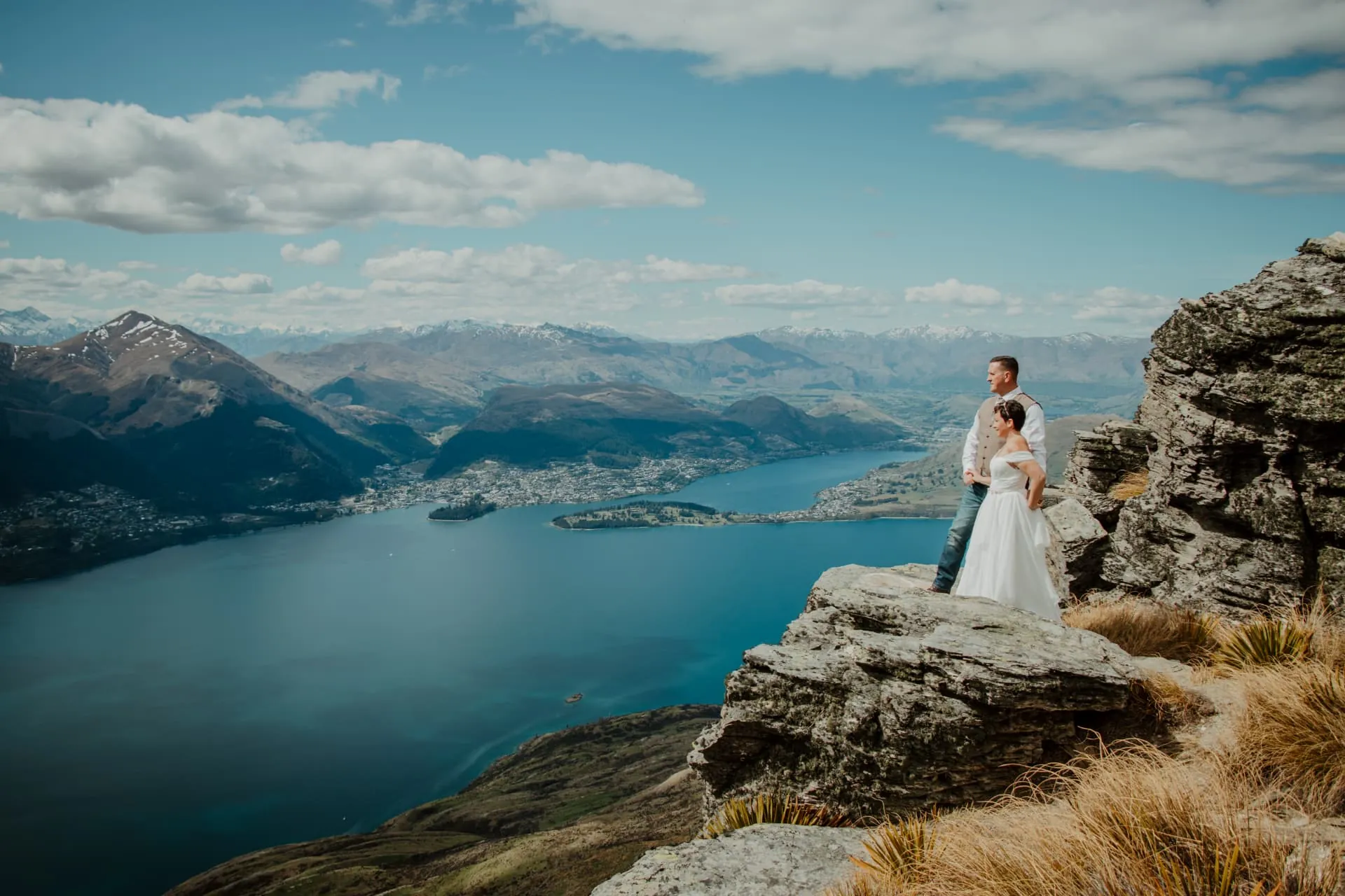
Sunset is not the only time to stand on the Ledge. Under a big, moving sky the lake turns deep blue, the tussock glows gold and the rock outcrops give you a natural stage above Lake Wakatipu, with Queenstown and the Remarkables across the water. A daytime Cecil Peak wedding also leaves the evening free for dinner and celebrations.
The Spur (Cecil Peak Ridge) at the end of winter
A snow wedding on the Cecil Peak Spur and Ridge
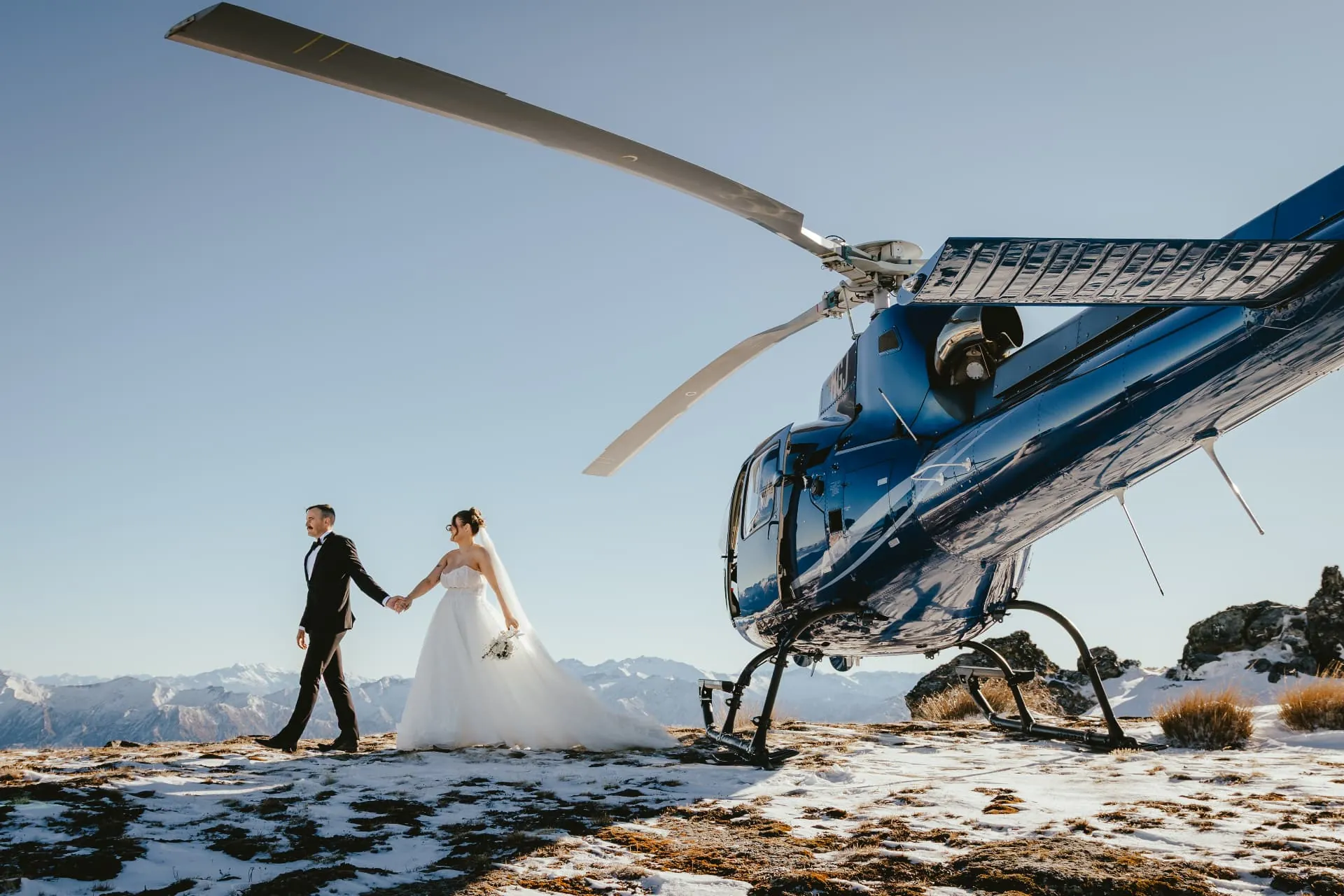
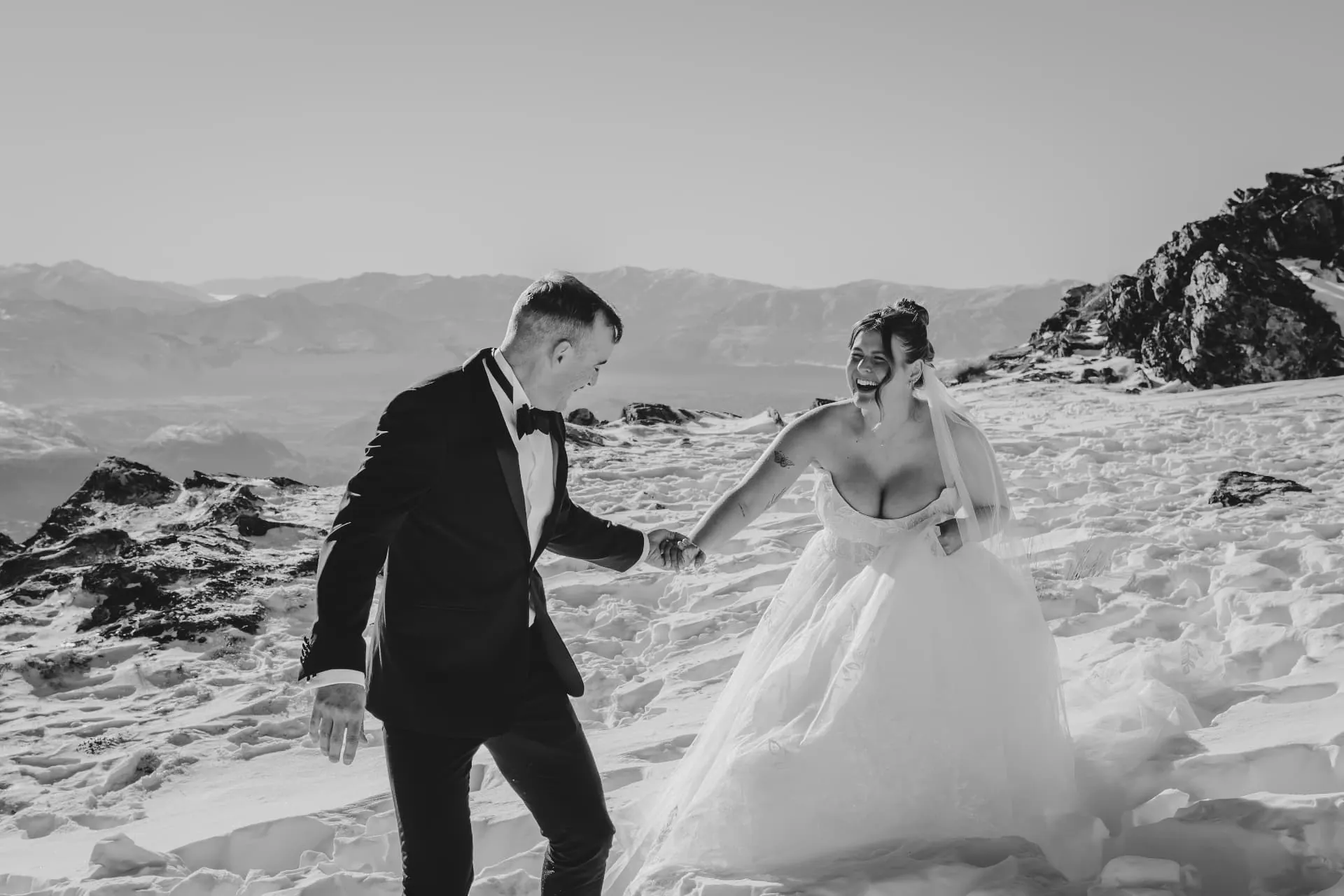
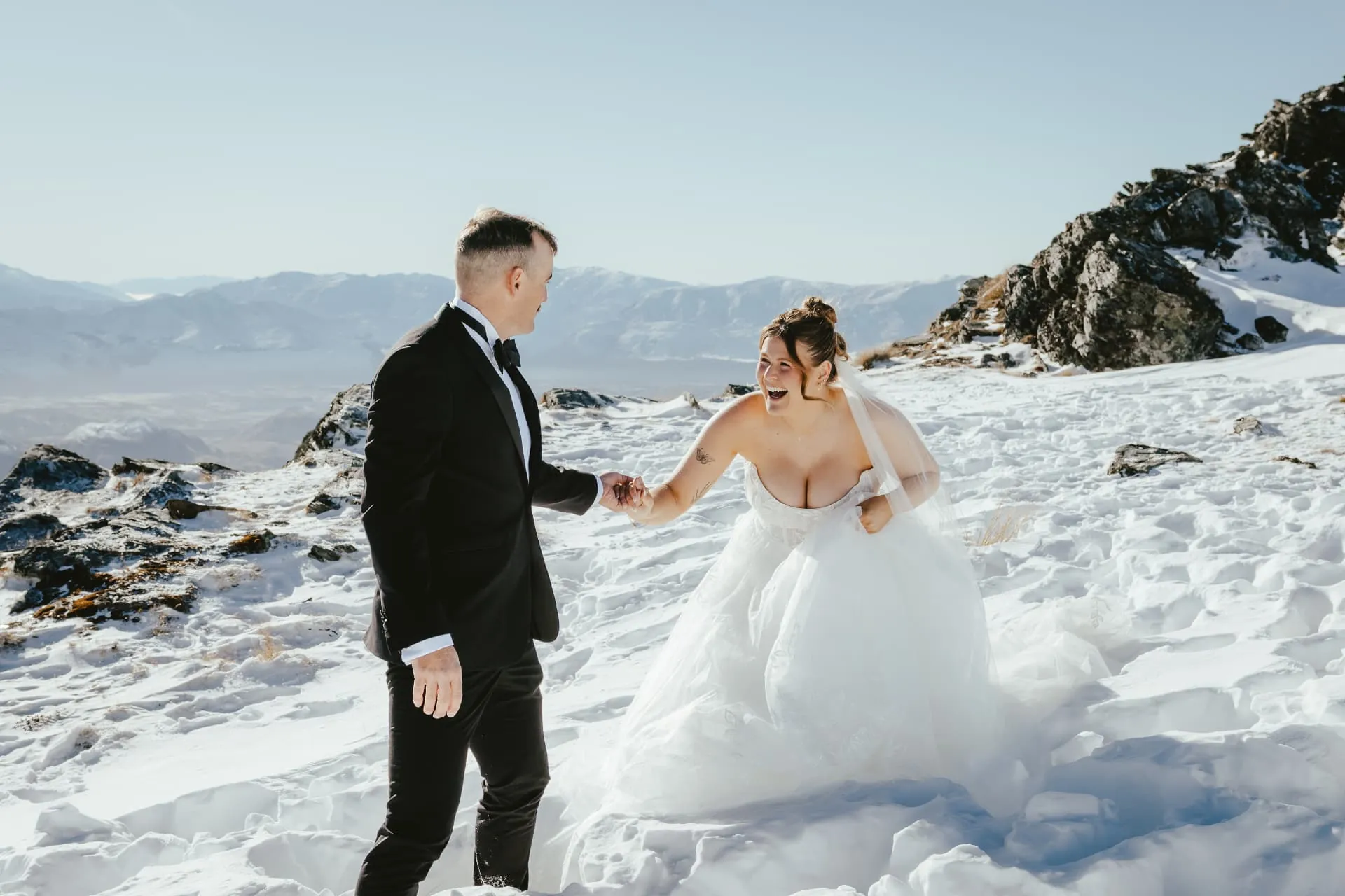
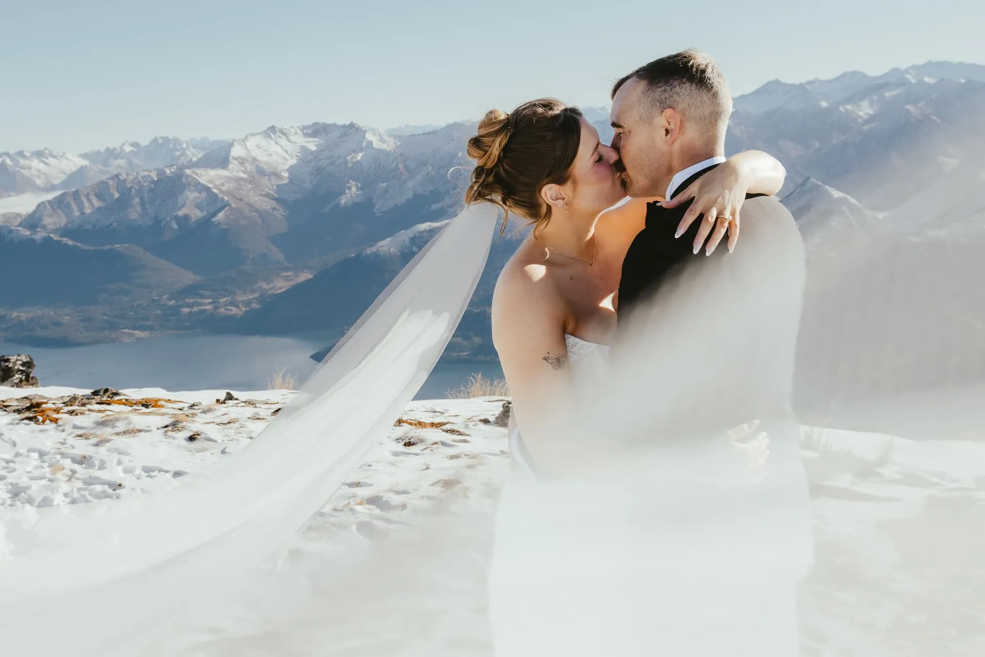
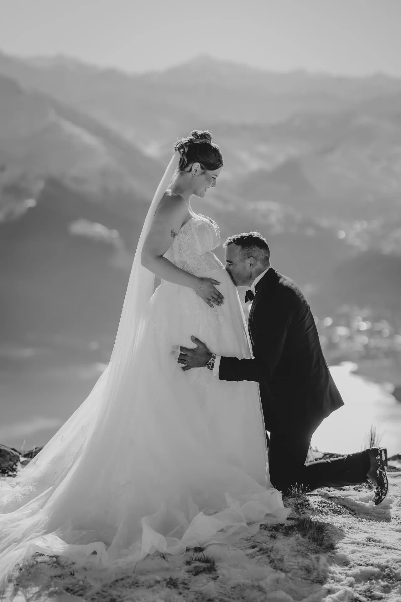
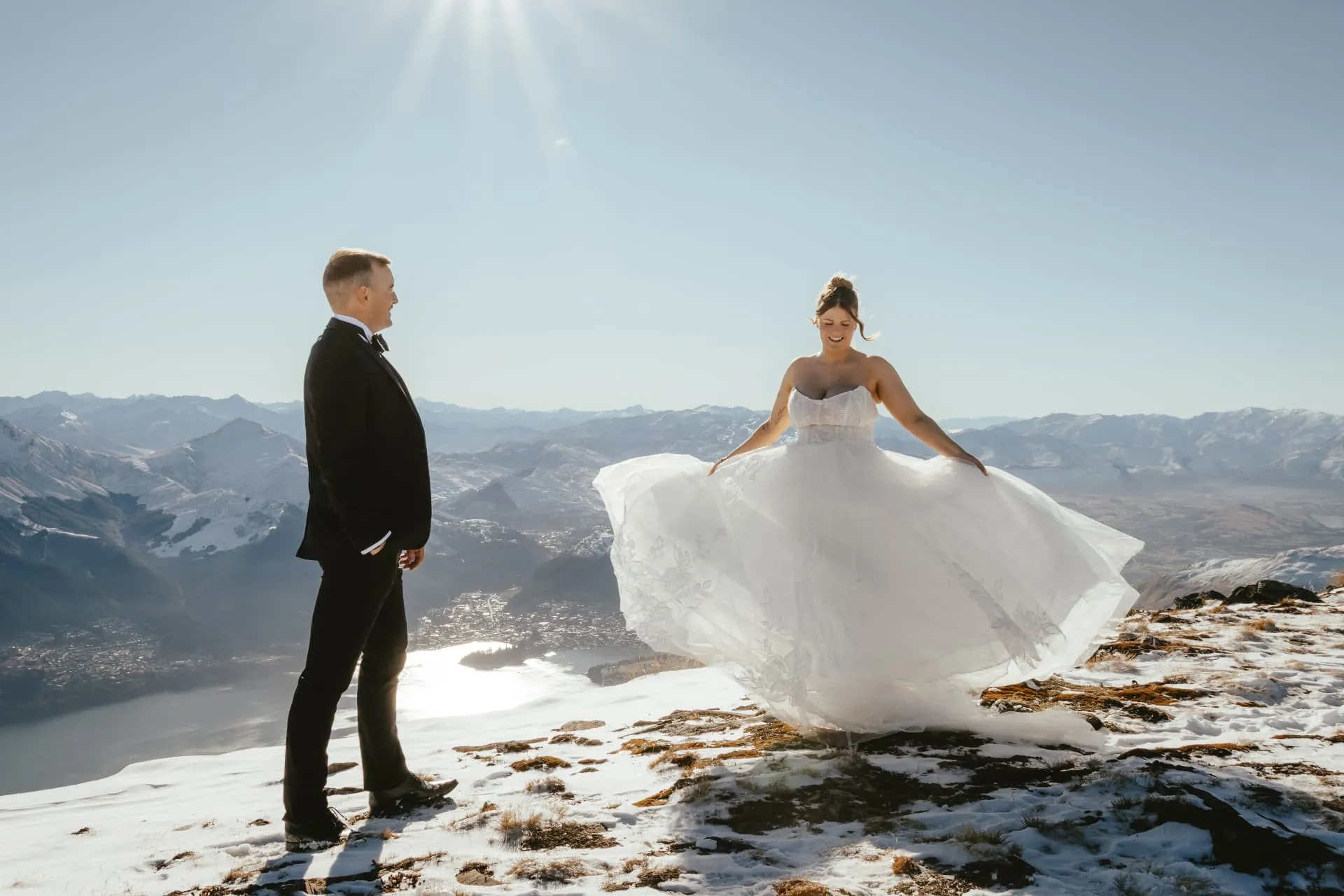
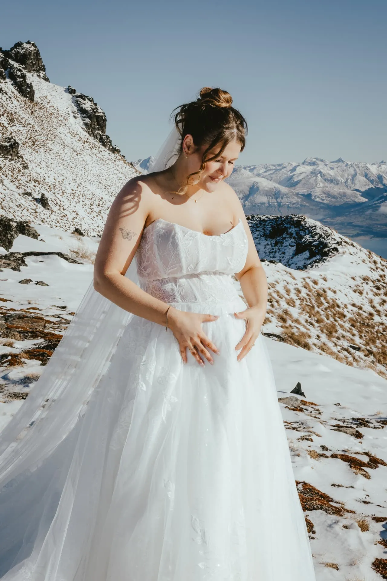
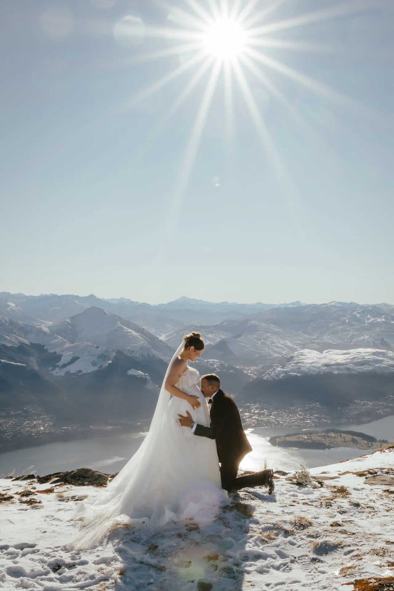
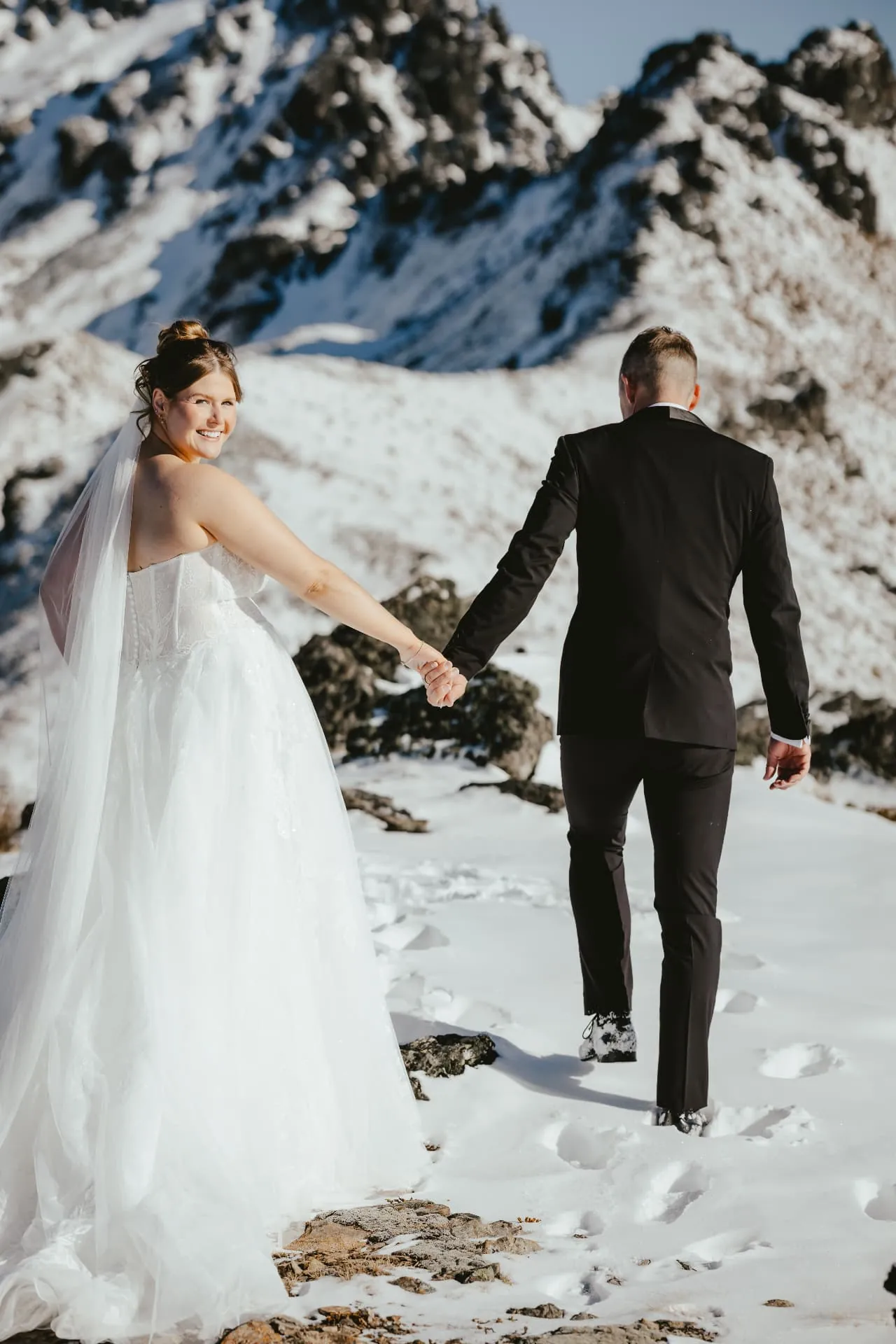
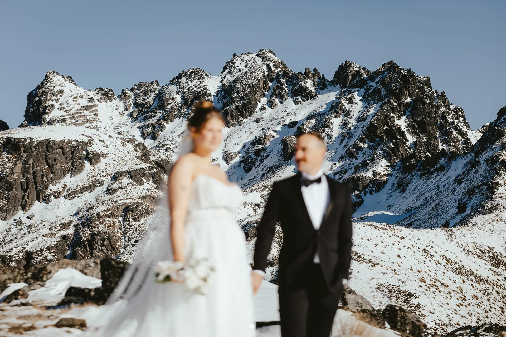
This elopement was photographed on the Spur at the end of winter, when the whole mountain still sits under fresh snow. The helicopter sets down on the snowfield, and from there it is just the two of you, white ground underfoot and the snow-covered ranges around Lake Wakatipu in every direction. It is one of the few places near Queenstown where a winter snow wedding is only seven minutes from town.
A family of three
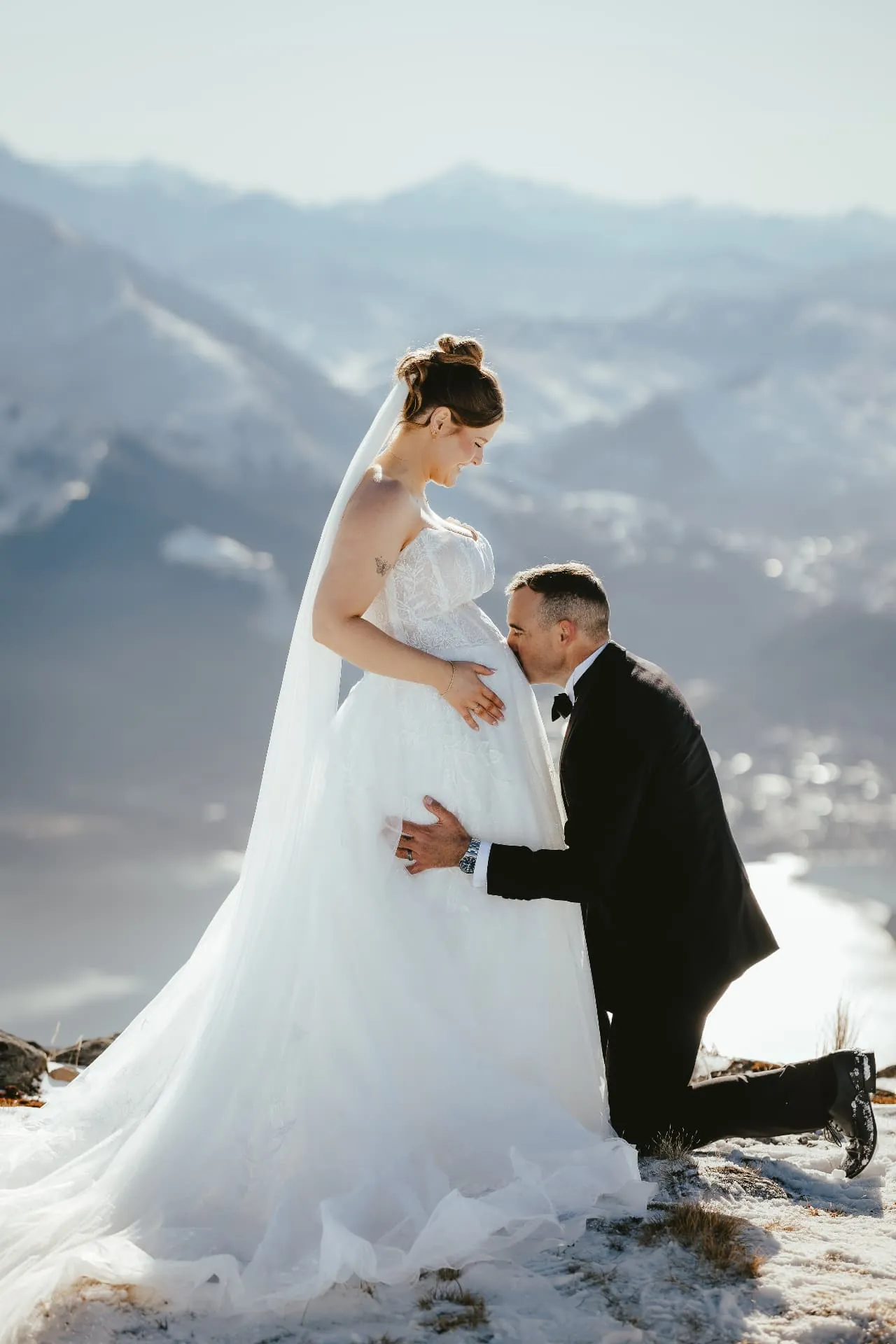
Vows for two, a promise for three
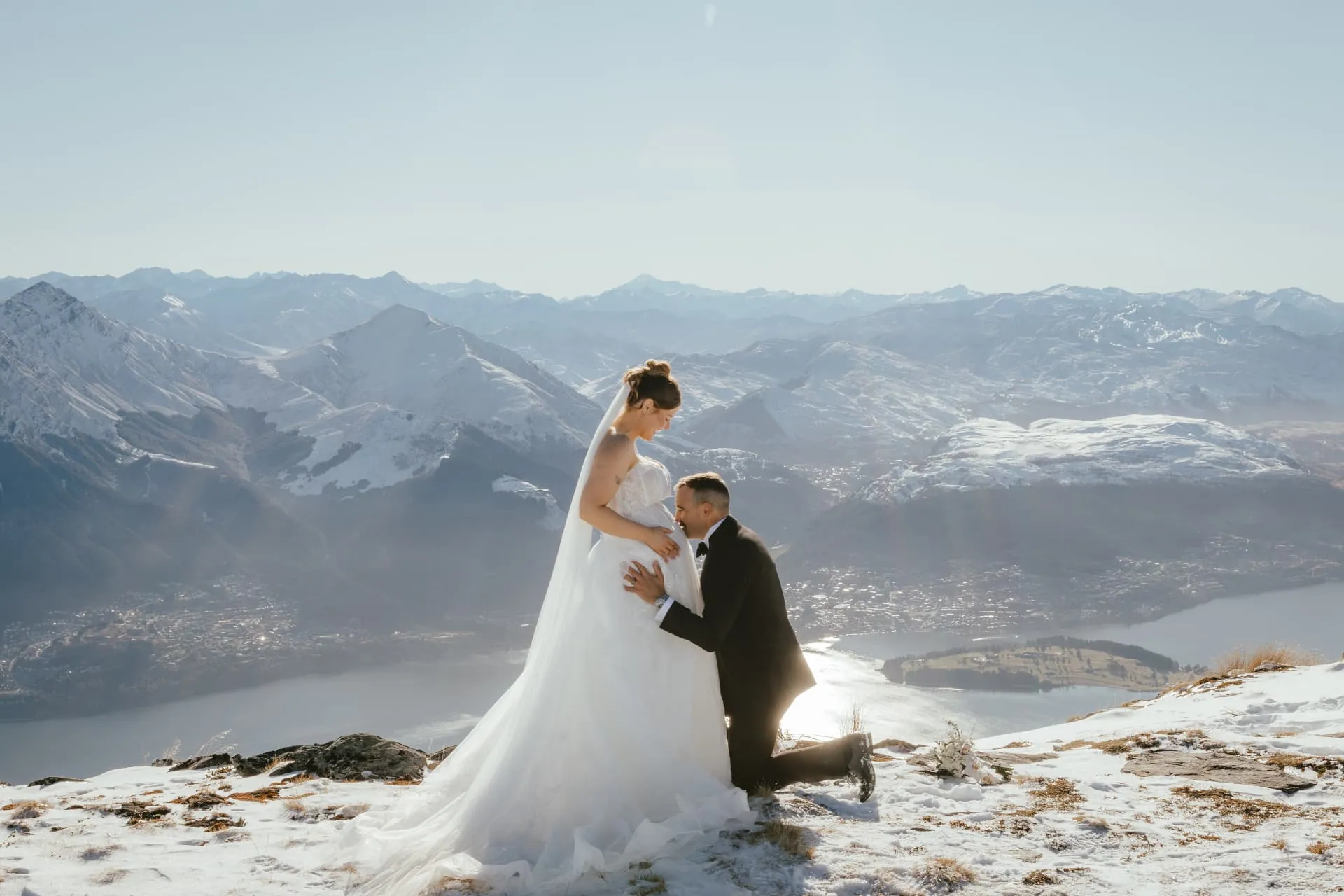
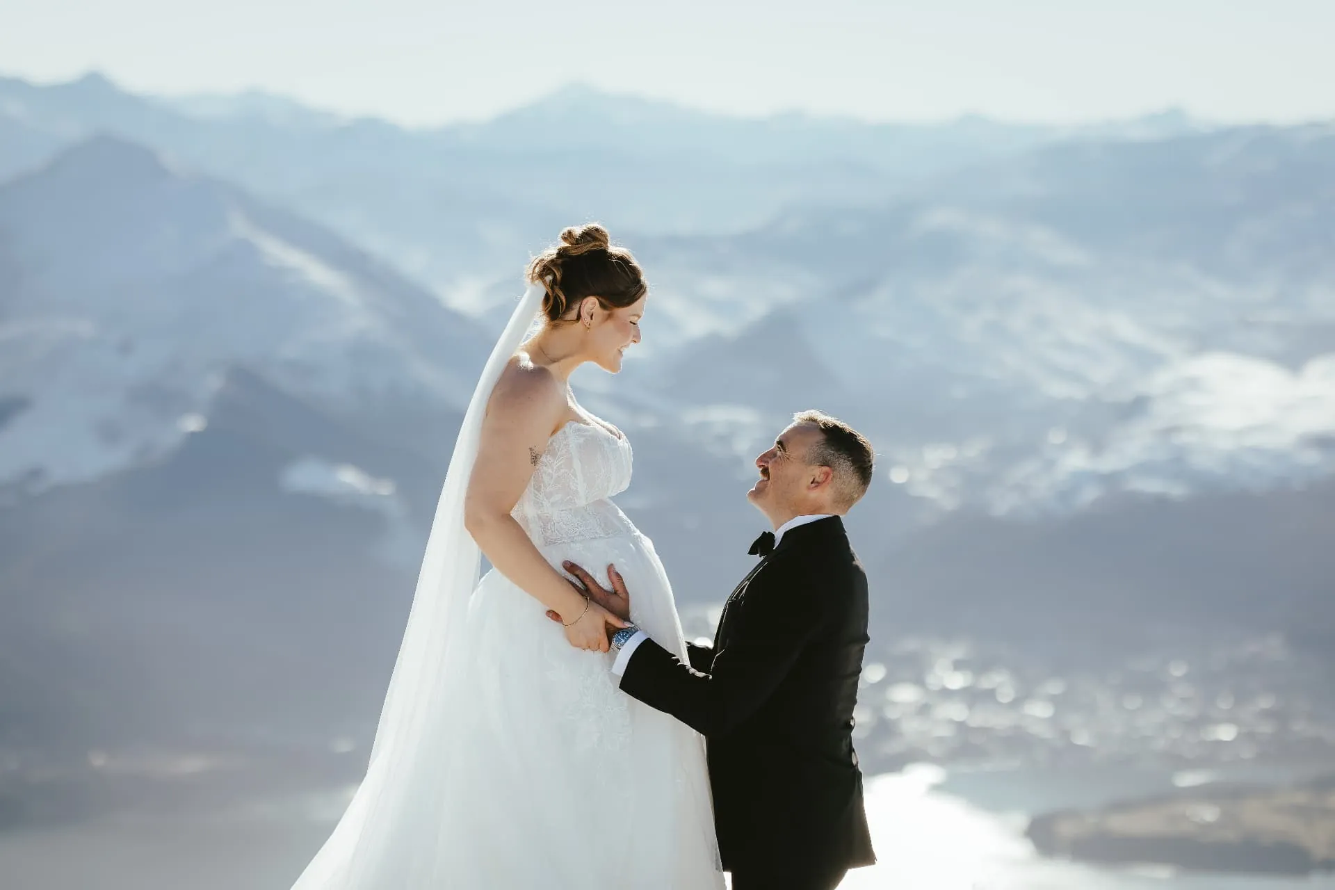
She was expecting their first baby. Up on the snow, with the whole of Queenstown below, he knelt and kissed her belly, a quiet moment that said everything about the life they were starting. An elopement while pregnant can be gentle and unhurried: a 7 minute flight, a short walk, and as much time as you need on the mountain.

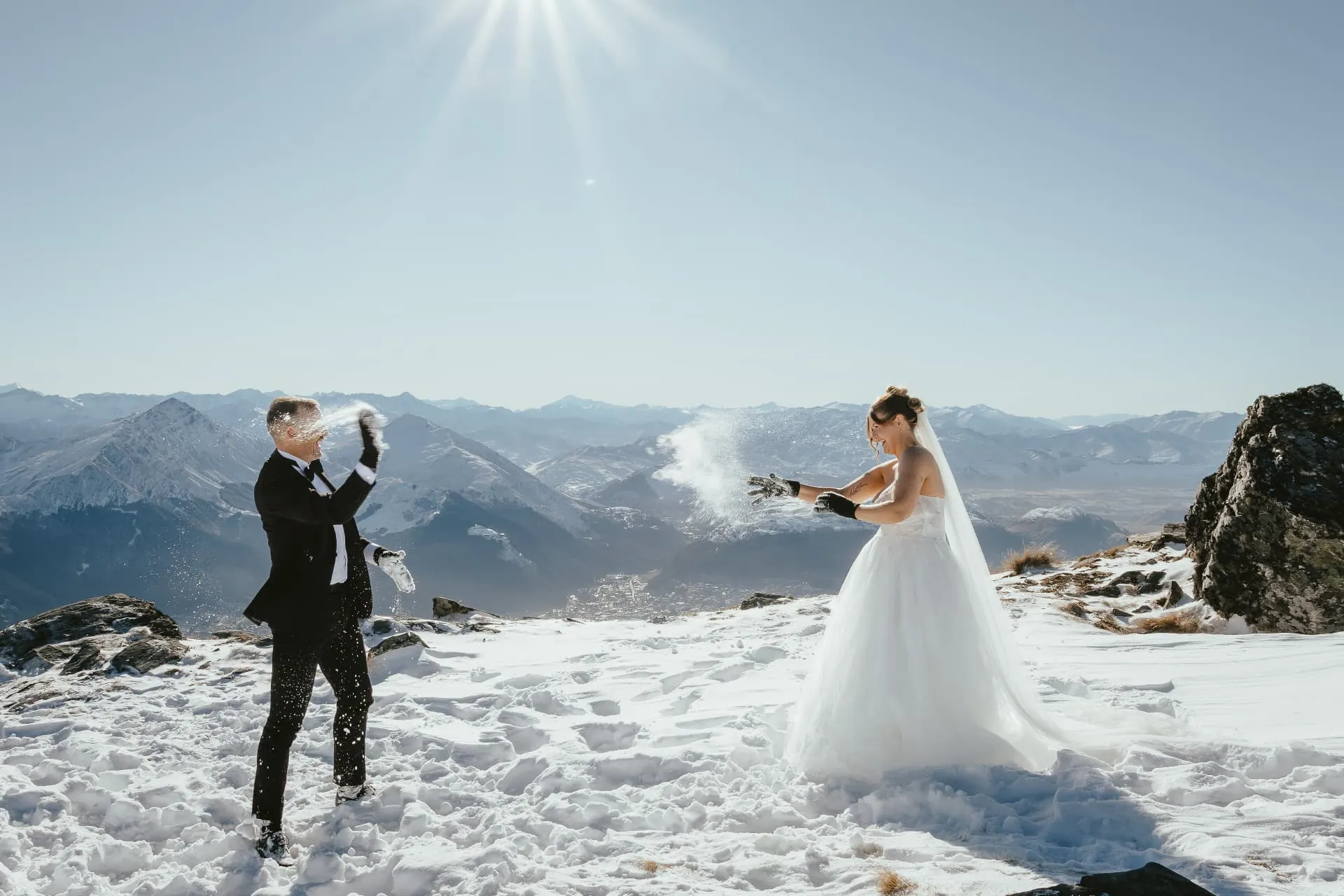
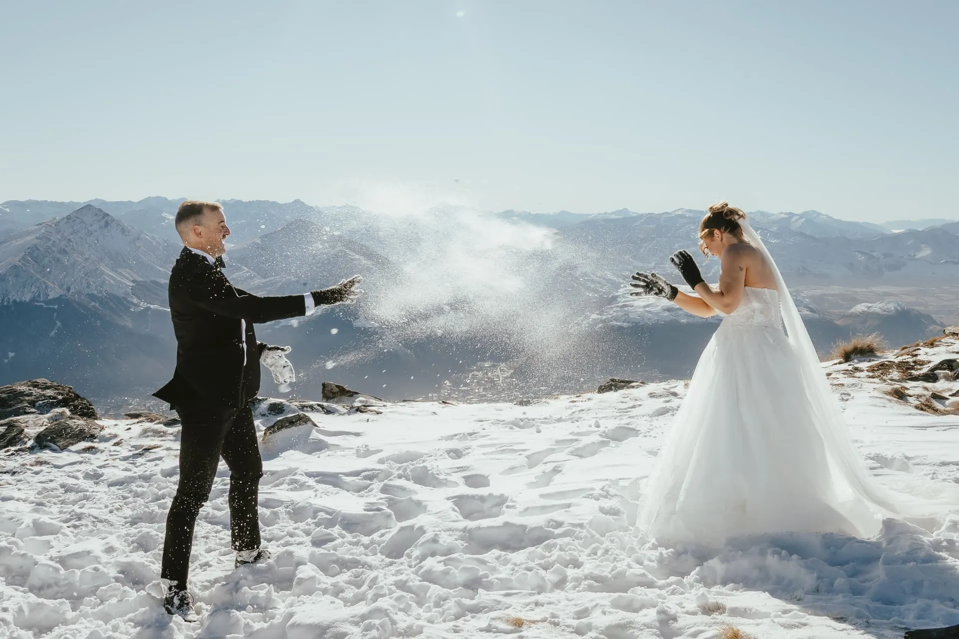
The snowball fight
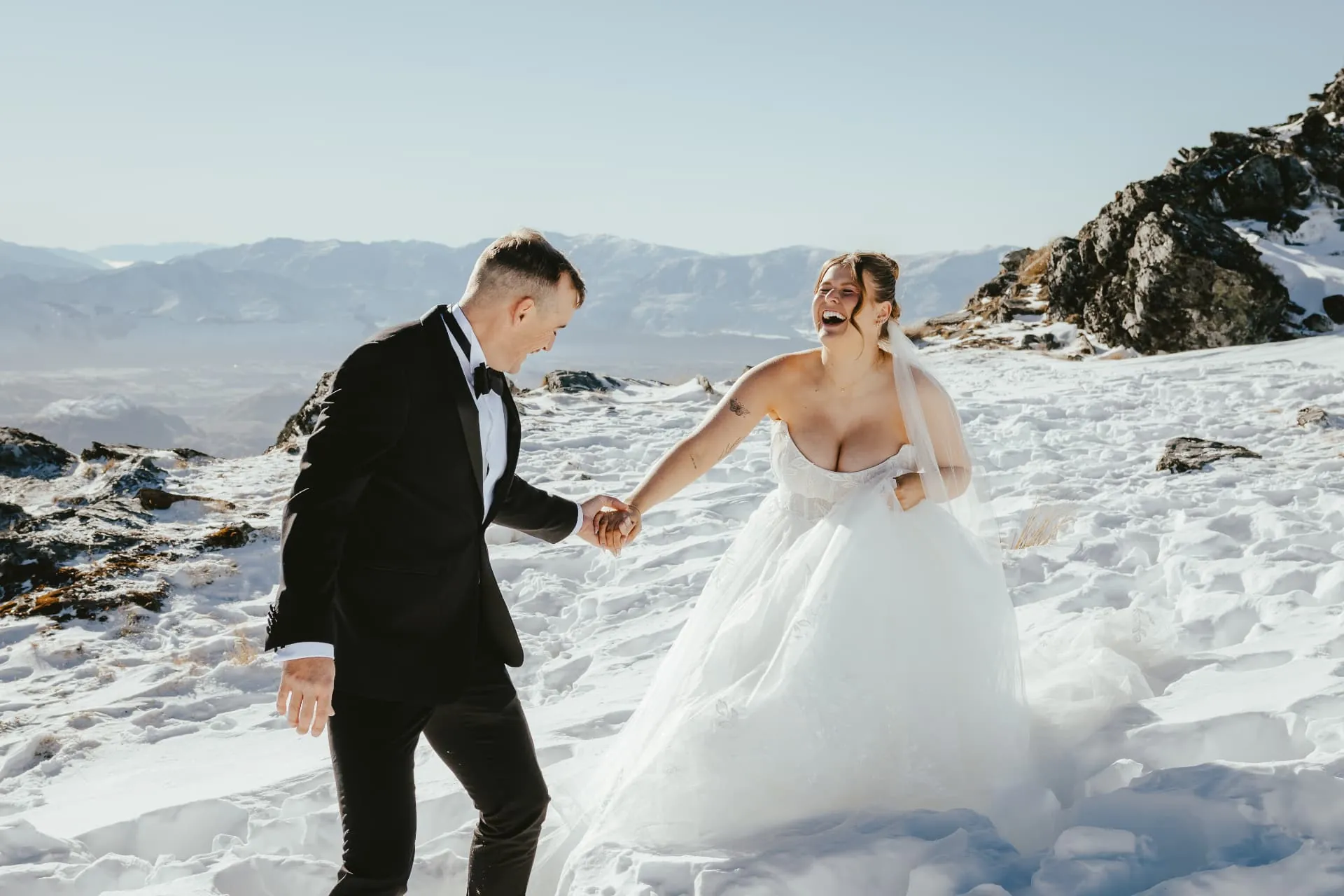
Snow on the Spur means one thing: a snowball fight in a wedding dress and tux. It breaks the nerves, gets everyone laughing, and gives some of the most natural photos of the day, with snow bursting against the mountains and Lake Wakatipu.
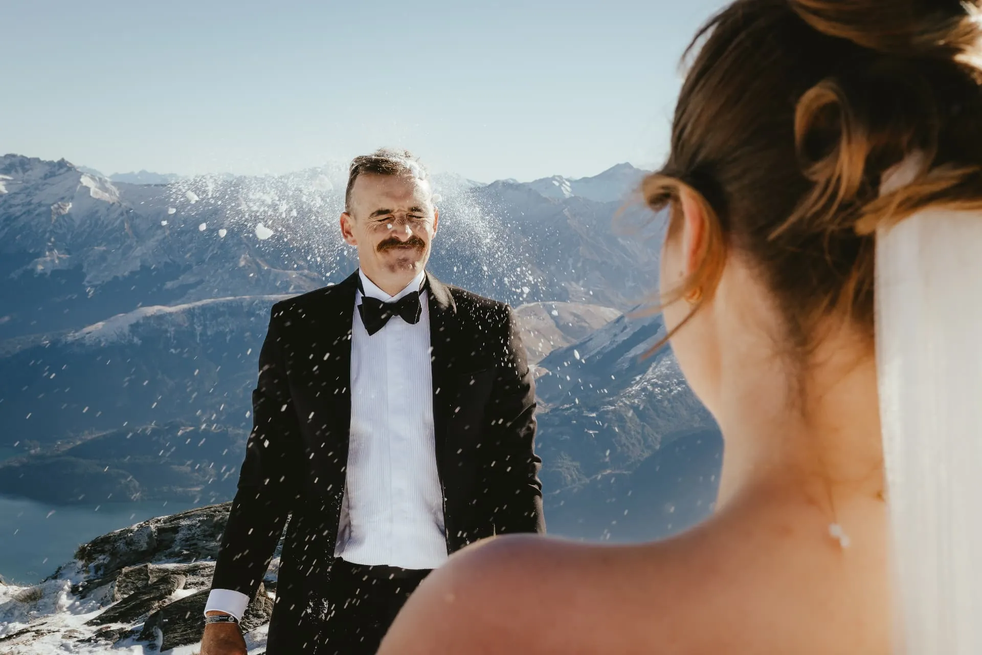
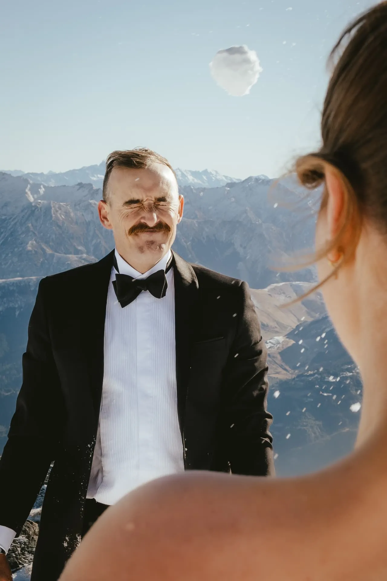
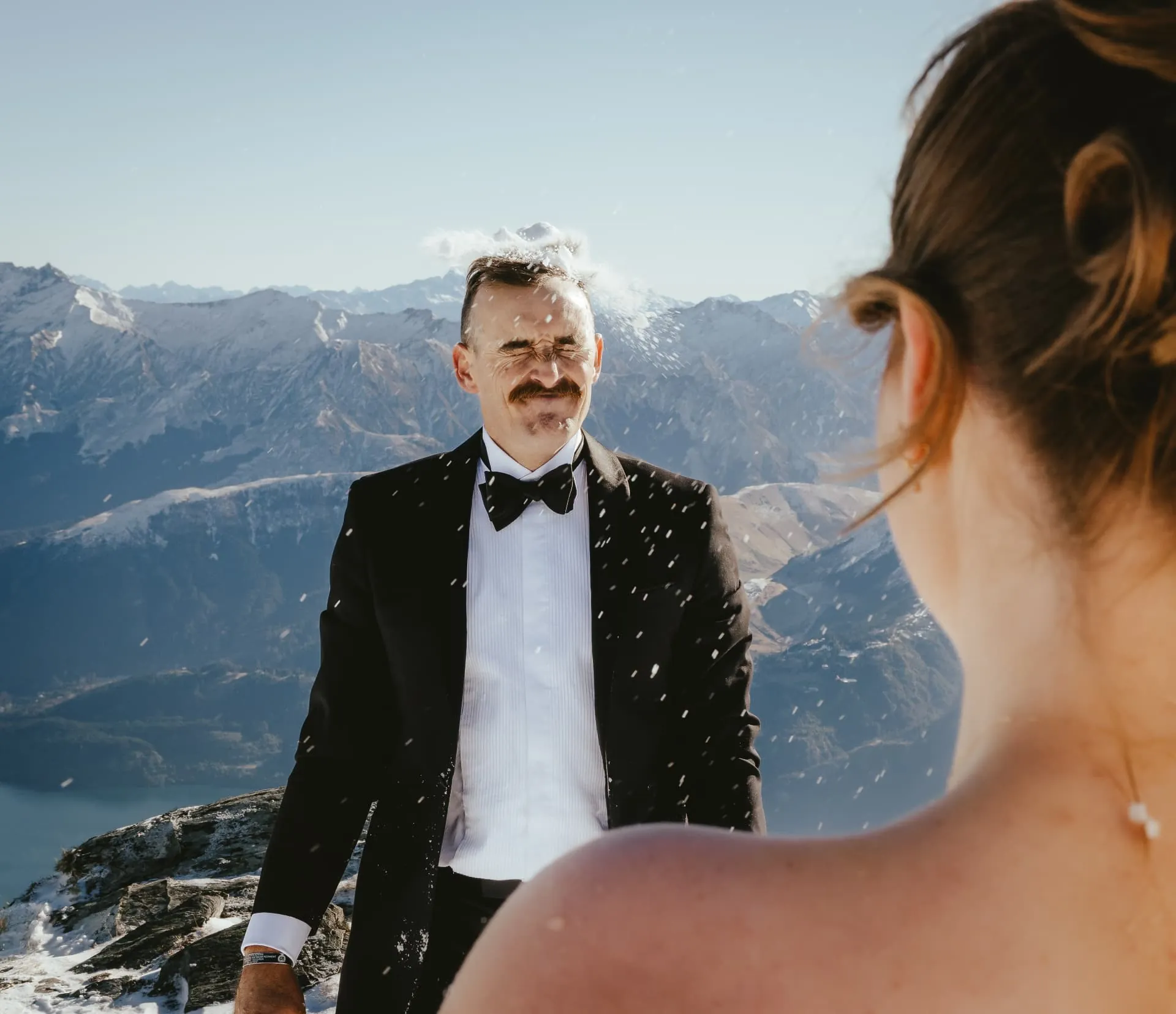
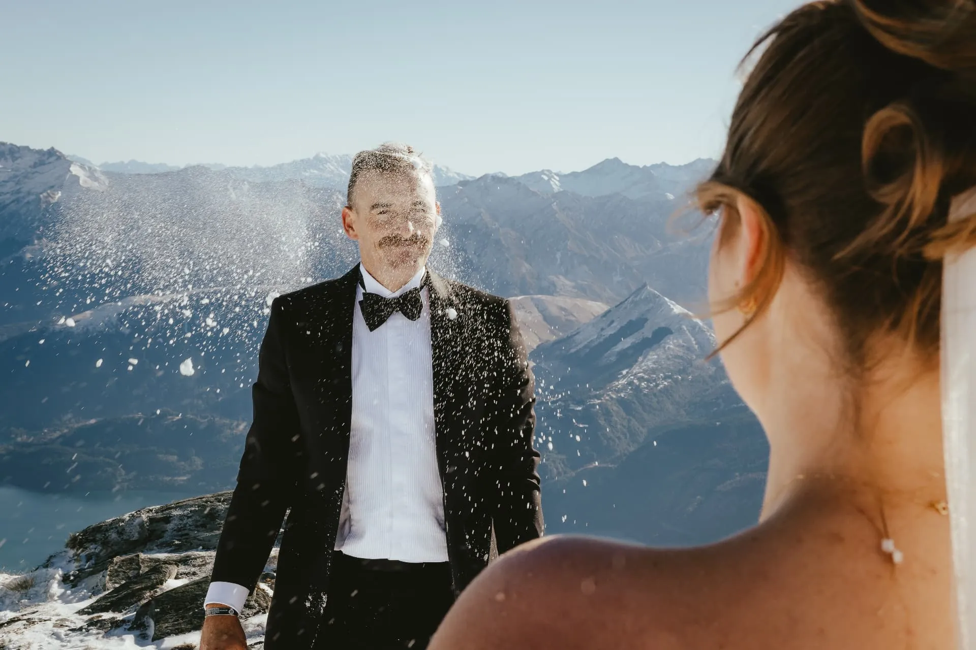
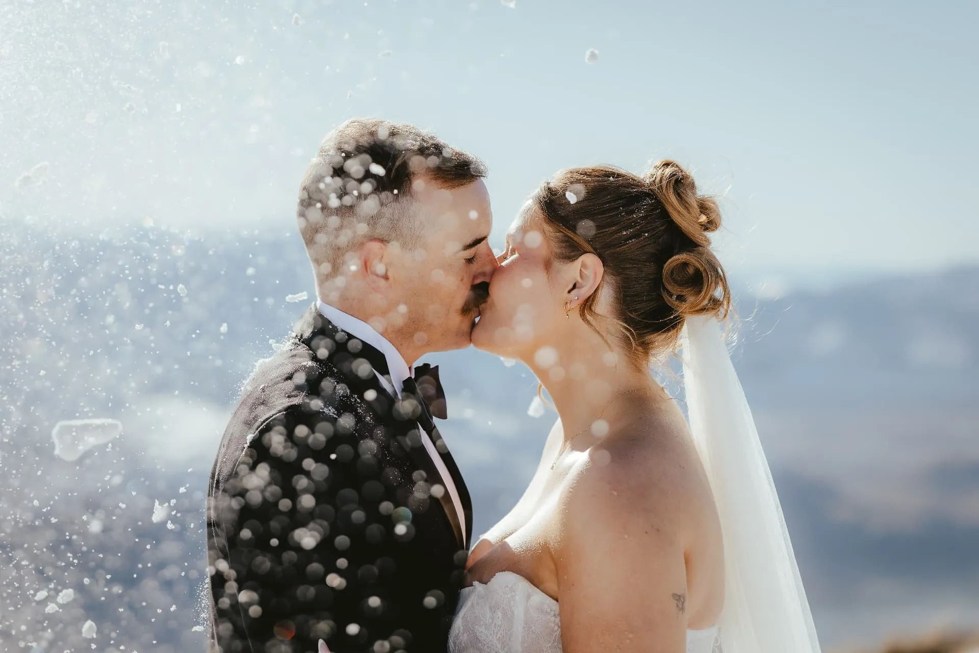
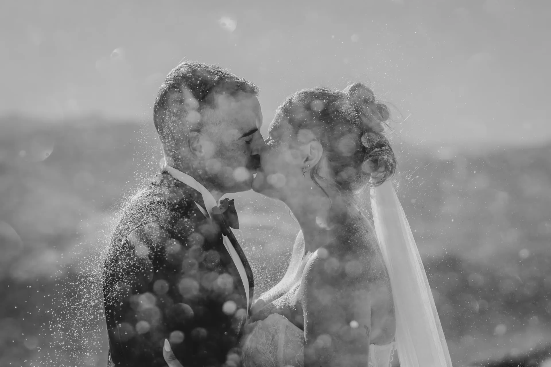
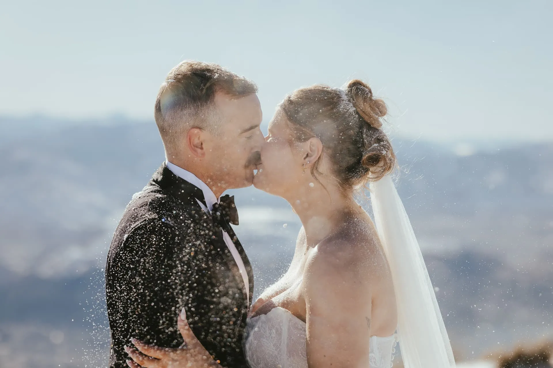
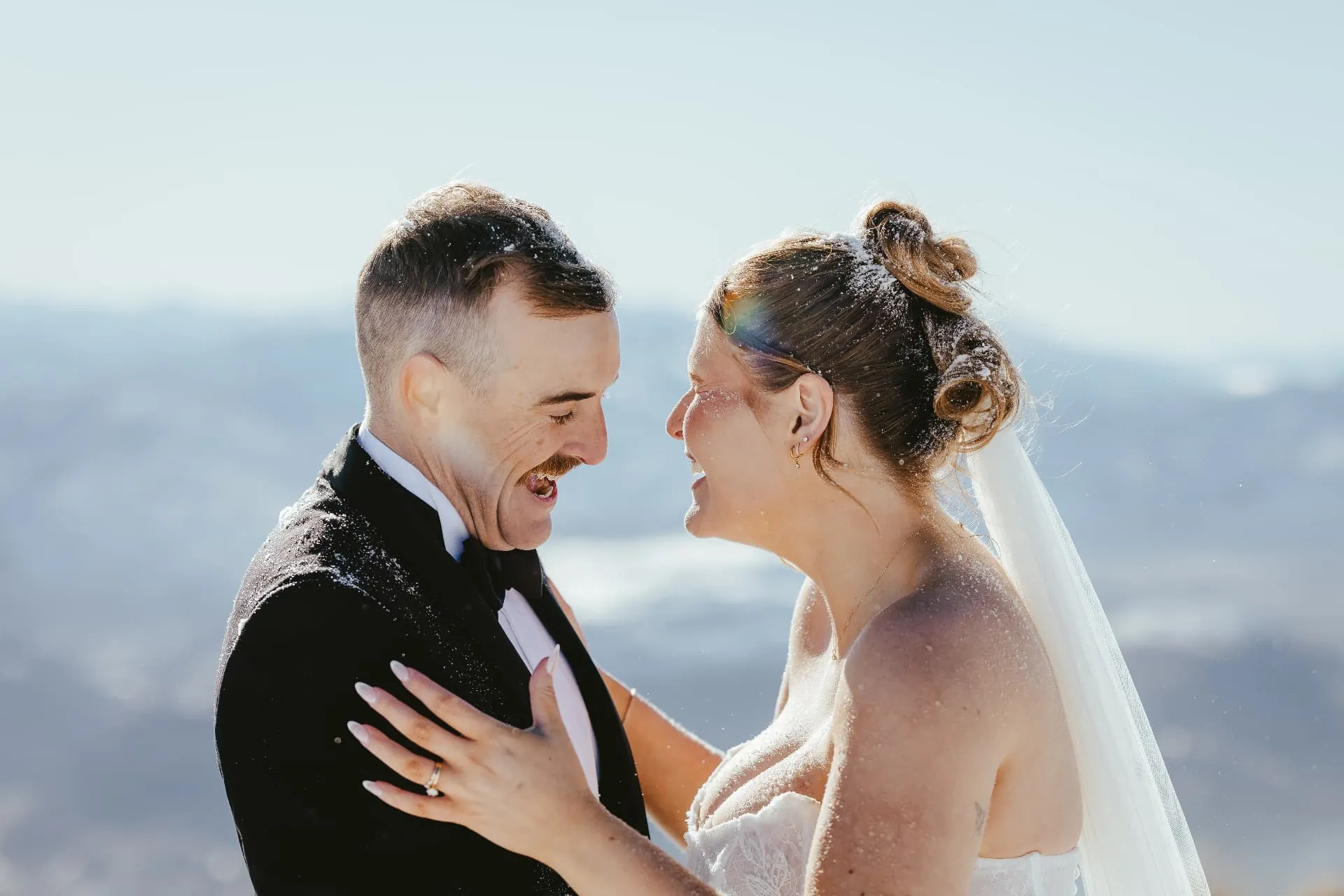
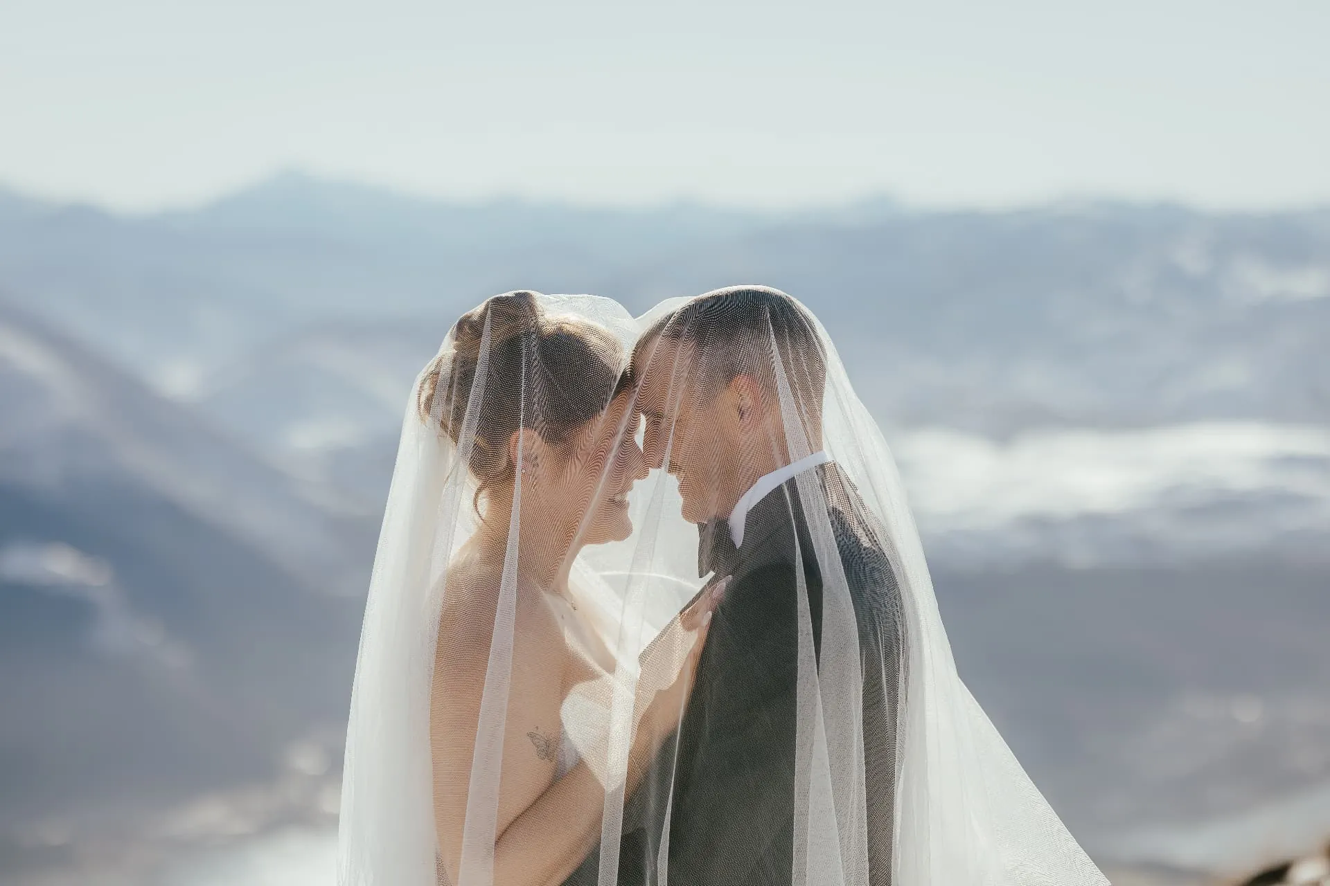
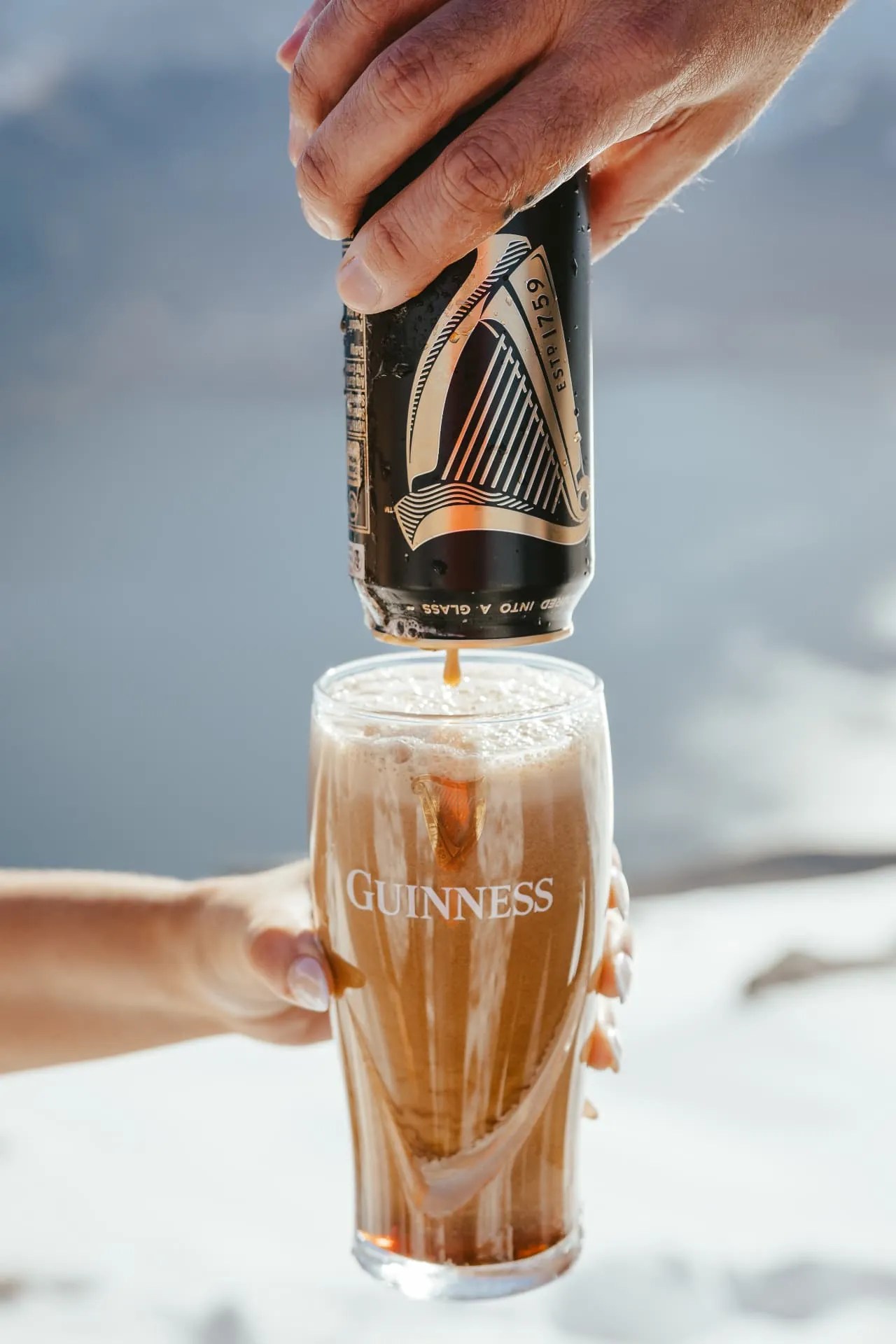
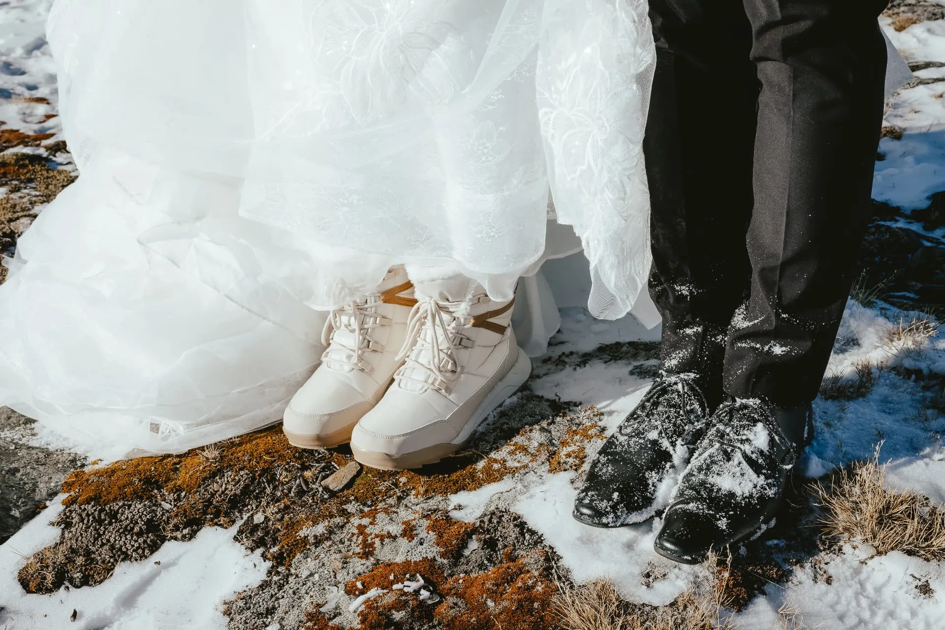
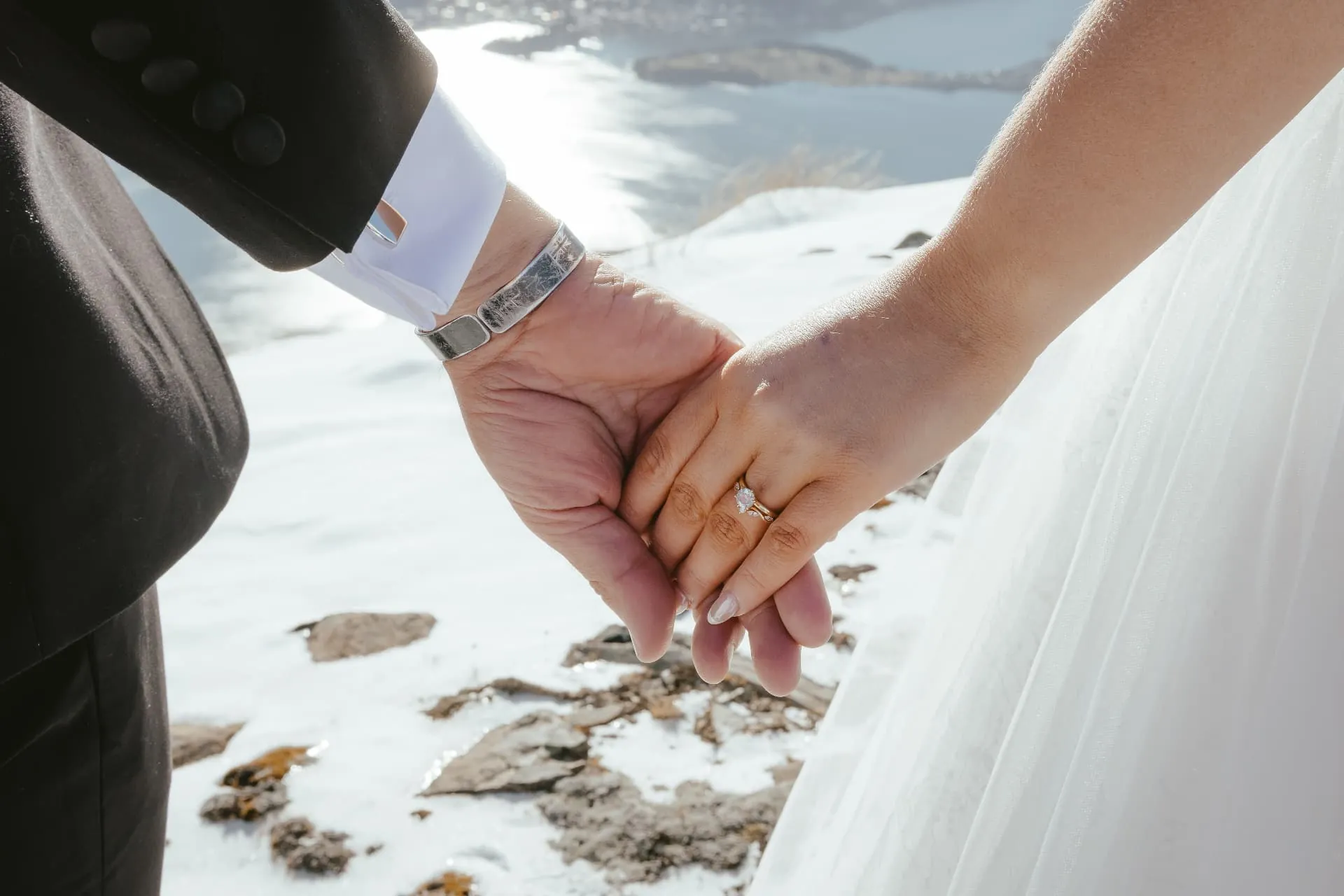
The small things make a snow elopement: a toast poured on the mountain, sneakers under the gown so you can walk the snow, rings catching the winter sun. We photograph these details between the big landscape frames so the whole day is told, not just the view.
Planning a winter or late-winter Cecil Peak wedding: the Spur can hold snow from around June into early spring. Snow reflects light, so even midday photos glow, and black and white images look striking against the white. Bring snow-ready footwear (many brides wear white sneakers under the dress) for walking out from the helicopter, a warm coat for between photos, and expect shorter days, with sunset around 5 to 6pm. We confirm the landing on the morning with the pilot, and keep a lower landing in reserve if cloud sits on the tops.
02 · Getting there
How to get to Cecil Peak
Several Queenstown helicopter companies hold access to Cecil Peak Station. Wānaka operators do not usually fly here, so this is a Queenstown-based day from start to finish.
- 1
Meet in Queenstown
We meet you at your accommodation or the helicopter base at Queenstown Airport, with time for final touches and photos before take-off.
- 2
Safety brief
Your pilot runs through the flight and landing. Dress, veil and flowers are packed so nothing moves in the downdraft.
- 3
Seven-minute flight
The helicopter crosses Frankton Arm and Lake Wakatipu and climbs straight up the face of Cecil Peak.
- 4
Landing and ceremony
You step out on the Ledge or the Spur. Ceremony, champagne and portraits, usually with an hour or more on the mountain.
- 5
Second landing (optional)
Many couples add a second stop on the station or further afield, then fly back to Queenstown.
03 · Planning
Planning a Cecil Peak elopement
Timing
Morning for still air and soft light, late afternoon for golden hour. Summer sunset in Queenstown is around 9.30pm, winter closer to 5pm, so we plan the flight backwards from the light.
Weather
Wind decides which landing we use. If the tops are closed, we move to Lower Cecil or a paired Wakatipu site, and the pilot and planner make that call together on the morning.
Guests
Most helicopters take the couple, celebrant and photographer. Small groups are possible with a larger aircraft or two machines.
What to wear
Wind is the main factor. Secure veils and hair, choose shoes you can walk on rock and tussock in, and bring a warm layer even in summer.
Landowner
Cecil Peak Station is private farmland. Landing access and fees are arranged through the helicopter operator as part of planning.
Legal
To marry legally in New Zealand you need a marriage licence and a registered celebrant. We walk overseas couples through the paperwork.
Coming from overseas? Read our guide to planning a New Zealand elopement from overseas, or see what happens if the weather changes.
04 · When to go
Best time for Cecil Peak
Cecil Peak works all year. Summer brings long evenings and green-gold tussock, with sunset late in the evening. Autumn has the most settled air and warm colour. Winter and spring can put snow on the Ledge and the ranges behind Queenstown, and the short days mean a sunset ceremony still finishes early.
Because the flight is so short, it is easy to wait for the right light and still be back in town for dinner.
History, names and tracks
Cecil Peak history, names and fun facts
Long before helicopters, Cecil Peak was a navigation mark for a swimmer, then a sheep run for Queenstown's first settlers. Here is the story of the mountain, checked against local history sources.
Timeline
Before 1860
Kāti Māmoe and Ngāi Tahu knew Cecil and Walter Peaks together as Kā Kamu-a-Hakitekura.
1860
William Gilbert Rees and Nicholas von Tunzelmann reach Lake Wakatipu and take up the first sheep runs.
1862
Surveyor James McKerrow names Cecil Peak and Walter Peak after Rees's son, Cecil Walter Rees.
1863
Cecil Peak Station is established as a sheep station below the mountain.
1991
The station is bought by its current Singapore-based owners.
2010
A local band plays a Pink Floyd tribute concert in a natural amphitheatre on the peak.
2025
The 13,000 ha station is listed for sale, then withdrawn when offers fall short.
How it got its name
Māori name: Kā Kamu-a-Hakitekura
The twinklings seen by Hakitekura. The Kāti Māmoe woman Hakitekura is remembered as the first person to swim across Lake Wakatipu, from Queenstown Bay to Refuge Point. She steered by the dawn light on the tops of Cecil and Walter Peaks, and the peaks carry her name.
English name: Cecil Peak
Named in 1862 by surveyor James McKerrow after Cecil Walter Rees, eldest son of William Gilbert Rees, the runholder regarded as Queenstown's founder. Walter Peak next door takes his middle name.
Is there a road or track up Cecil Peak?
There is no road. Cecil Peak Station is off-grid and reached by boat across Lake Wakatipu or by helicopter, and the mountain is private, working farmland under a Crown pastoral lease.
There is no public walking track to the Ledge or the Spur, so for a wedding the helicopter is the way up. Any access to the station's land is arranged with the station.
Did you know?
01
Hakitekura's swim left names all around the lake: Refuge Point is Te Ahi-o-Hakitekura, the fire of Hakitekura, where she lit a fire on arrival.
02
Ben Lomond, where she watched the swimming races, is Te Taumata-o-Hakitekura.
03
Hidden Island, one of only four islands in Lake Wakatipu, sits just off the Cecil Peak shoreline.
04
Cecil Peak is 1,978 m high, with around 758 m of prominence, which is why it stands out so clearly from Queenstown.
05
Painter William Mathew Hodgkins sketched Cecil Peak from near Queenstown in the early 1870s; the drawings are held by the National Library.
06
In 2010 a Pink Floyd tribute band played an outdoor concert in a natural amphitheatre on the mountain.
Sources: Queenstown & District Historical Society: Hakitekura, Queenstown & District Historical Society: Rees, von Tunzelmann and the first runs, Aukaha: Te Ahi-o-Hakitekura, National Library: Cecil Peak Station, Wikipedia: Cecil Peak, Peakbagger, Otago Daily Times.
Cecil Peak questions
Cecil and Walter Peaks are known together as Kā Kamu-a-Hakitekura, the twinklings seen by Hakitekura. The Kāti Māmoe woman Hakitekura steered by the dawn light on their tops when she swam across Lake Wakatipu.
Surveyor James McKerrow named it in 1862 after Cecil Walter Rees, eldest son of Queenstown's founding runholder William Gilbert Rees. Walter Peak next door takes his middle name.
Cecil Peak Station has been owned by a Singapore-based company since 1991. Most of its roughly 13,000 ha is Crown pastoral lease, with a smaller area of freehold land. It is a working farm with no road access, so landings are arranged with the station's permission.
It is named after Cecil Walter Rees, son of Queenstown founder William Rees, and Walter Peak next door carries his middle name. Hidden Island, one of the few islands in Lake Wakatipu, sits just off its shore. In 2010 a local band played a Pink Floyd tribute concert in a natural amphitheatre on the mountain.
Lower Cecil is a lower landing on Cecil Peak Station. We only use it on cloudy or windy days, when the Ledge and the Spur (Ridge) are closed by cloud or wind, so your heli wedding can still go ahead on the mountain.
Yes. The Ridge and the Spur are two names for the same landing: a high tussock ridgeline above the Ledge, facing out over Lake Wakatipu. It is our favourite spot on Cecil Peak for sunset ceremonies and, in winter, snow weddings.
Walk out across the snowfield, have your ceremony with snowy ranges behind you, pop a toast and, a favourite with our couples, have a snowball fight in your wedding outfits. It makes for relaxed, joyful photos.
Yes. In winter and at the end of winter, the Spur and the upper landings are often covered in snow, which makes Cecil Peak one of the closest snow wedding locations to Queenstown, about 7 minutes by helicopter. Snow cover depends on the season, so we check conditions with the pilot before the day.
Yes. September to November often brings clear, crisp days with late snow on the summit rocks and the ranges around Queenstown, which makes for bright, high-contrast photographs. Weather changes fast in spring, so we plan a flexible window and a lower backup landing.
Yes. From the rock outcrops above the Ledge you look straight across Lake Wakatipu to Queenstown, Frankton and the Remarkables, so the town you flew from sits in the background of your photographs.
The last 60 to 90 minutes before sunset. The Ledge looks down the length of Lake Wakatipu, so the sun sets behind you and lights the lake, tussock and dress. Morning works too, with softer, cooler light.
Cecil Peak (1,978 m) is the mountain on the south side of Lake Wakatipu, south-southwest of Queenstown and across the water from town. It is one of the peaks you see from the Queenstown waterfront, with Walter Peak beside it.
By helicopter. The landing sites are on Cecil Peak Station, a private working farm, with no public road or walking track to them. The flight from Queenstown Airport takes about 7 minutes.
Yes. Cecil Peak is one of the most popular heli wedding and elopement locations in Queenstown, and one of the locations we fly most often. Landings are made with the station's permission.
The Ledge is a flat rock outcrop on the Queenstown-facing side of Cecil Peak, with cliffs below and views straight across the lake to Queenstown and the Remarkables. It is the most photographed landing on the mountain.
Yes. The Spur faces out over the lake to a wide western sky and is one of the best sunset spots near Queenstown. We time the flight so you land in golden hour.
Several Queenstown-based helicopter operators have access to Cecil Peak Station. Wānaka operators do not usually fly here, so Cecil Peak is a Queenstown-based day.
Most couples spend an hour or more on the mountain for the ceremony and portraits. The short flight means more of your time goes to being there, not travelling.
Wind and cloud decide the landing. If the Ledge or Spur is not safe, we use a lower landing on the station or a paired Wakatipu site, and move the timing if needed.
It is one of the shortest flights we offer, about 7 minutes, which many first-time helicopter flyers find reassuring.
Summit height from the New Zealand Gazetteer / Wikipedia. Flight times, landing names and conditions from our own Cecil Peak flights with Queenstown operators. Last checked October 2026.
Keep planning
Compare Cecil Peak with other landings, or see how a Queenstown day runs.
All landing locations
Every peak, glacier and valley we land on across Queenstown and Wānaka.
Earnslaw Burn guide
The waterfall valley beneath Mount Earnslaw, north of Glenorchy.
Heli elopement packages
Flight times, landings and what is included in each package.
Ready to land on Cecil Peak?
Tell us your date and we will check the light, the landing and availability.